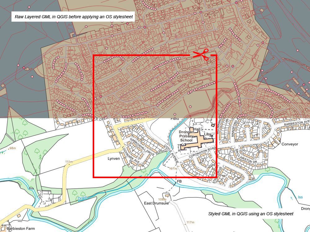
Ordnance Survey mapping and Data, OS Planning application maps, OrdnanceSurvey
View Cart | Checkout | Items:, Value:
Ordnance Survey mapping and Data, OS Planning application maps, OrdnanceSurvey
Help  |    |  Login  |  Logout

OS DXF - CAD Format - 10k DETAIL (NOT LARGE SCALE)

10k Vector data for CAD or GIS - OS Vector Map Local derived - not as detailed as the large scale OS Mastermap but this mid scale vector product is particularly useful for covering larger areas

Online Catalogue | OS Digital Data |  OS DXF - CAD Format - 10k DETAIL (NOT LARGE SCALE)


Location Search:

Please enter Postcode and click Go, then select Address from pull down list


Enter a Placename:

e.g. Edinburgh or London. Map will rescale - you can then click or use the zoom and move tools on the map to find your required area


Enter Easting and Northing e.g. 259590 666000

Data
Ordnance Survey 10k
Scale
10k source
Delivery
Email
Cost
From: £36.23 + vat
Format
DXF or DWG
Size
From: 1km x 1km
OS DXF - CAD Format - 10k DETAIL (NOT LARGE SCALE)...

Compatible with most modern Geographic Information Service (GIS) software packages and Computer Aided Design (CAD) systems.
After completing step 1, your location will be highlighted below:

Coverage Choice:
SelectGround CoverageSelectGround Coverage
1000m x 1000m2000m x 2000m
3000m x 3000m4000m x 4000m
5000m x 5000m6000m x 6000m
7000m x 7000m8000m x 8000m
9000m x 9000m10000m x 10000m
Format
DWG    DXF   

Contour Option
No Contours    Include Contours   


Coverage Confirmation:

Imagery ©2012 DigitalGlobe, GeoEye, Getmapping plc, Infoterra Ltd & Bluesky, The GeoInformation Group, Map data ©2012 Google -

If you need to alter your location, please go back to step 2 (map to the left)

Your Price:  --- + VAT

Your Product: OS DXF - CAD Format - 10k DETAIL (NOT LARGE SCALE)

Please complete the relevent boxes below:

Final Step: Click the add button below if you are happy with the coverage (only the boxed highlighted area will be supplied)


Further Product Information:
ProductOrdnance Survey - OS DXF - CAD Format - 10k DETAIL (NOT LARGE SCALE)
ScaleVector: 1:3 000 to 1:20 000
CoverageFull UK coverage (this excludes Northern Ireland - try www.osni.gov.uk)
FormatDXF or DWG
Software RequiredCAD or GIS
Product PriceFrom £36.23 + vat
Delivery MethodE-mail
Turnaround TimeWithin 2 hours (during office hours)
CurrencyCurrent - Latest available
SampleClick here to download
Key FeaturesAttributes: Roads, railways, vegetation, boundaries, urban Extent, basic building outlines.... Vector based - scalable with CAD - unlimited prints within 1st year of purchase
UsesLand planning over large areas, Forrestry, Farming, Banking and insurance, Flood risk, Cartographic representation
Licence Term1 year for online purchases
Supplied under our Framework agreement with Ordnance Survey (Distribution Contract)

You do not need your own licence to use/buy this product - a licence number will be stamped on each plan/map you purchase. As a best practice do not remove this licence number as it is required by Councils and other public bodies to check the authenticity of the Ordnance Survey data/prints.

You are entitled to submit this product as part of a submission to a Local Authority (including the Planning Portal), Land Registry, Electricity Board or other body.


A non-exclusive, non-transferable licence.


This product is supplyed in an electronic version that requires CAD or a GIS


You shall:

Not use Licensed Data for any illegal, deceptive, misleading or unethical purpose or otherwise in any manner which may be detrimental to the reputation of Licensed Data or any person.


Not copy, distribute, sell or commercially exploit this product.


Full End-User PDF Document < click to download

Online Catalogue | OS Digital Data |  OS DXF - CAD Format - 10k DETAIL (NOT LARGE SCALE)