-
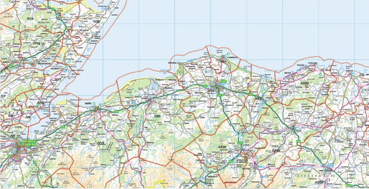
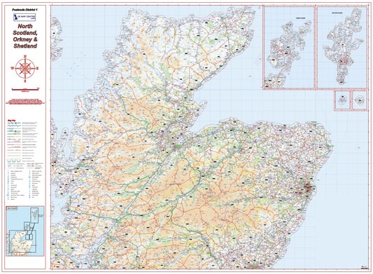
Postcode District Map 1 - North Scotland, Orkney & Shetland - Digital Download
Regular price £9.99Regular priceUnit price per -
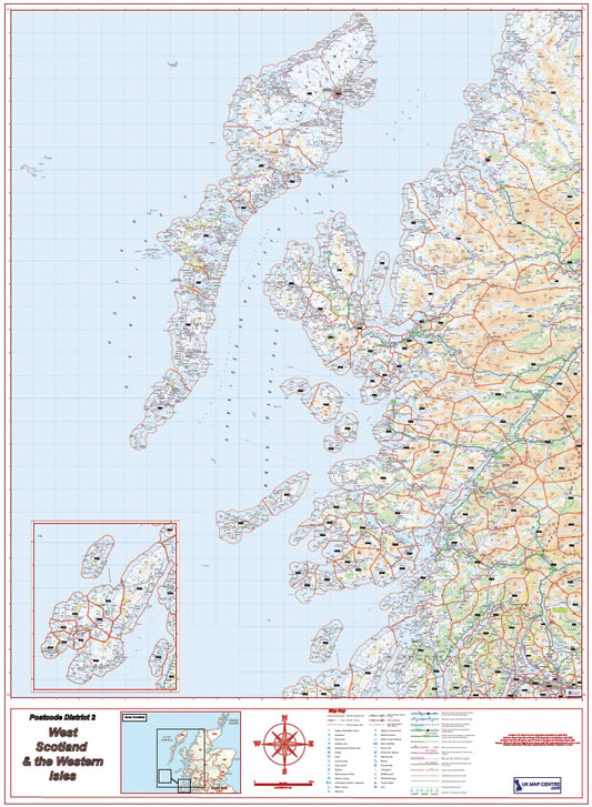
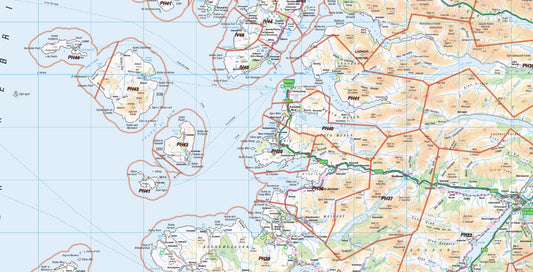
Postcode District Map 2 - West Scotland & the Western Isles - Digital Download
Regular price £9.99Regular priceUnit price per -
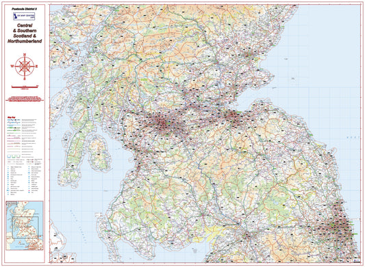
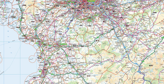
Postcode District Map 3 - Southern Scotland & Northumberland - Digital Download
Regular price £9.99Regular priceUnit price per -
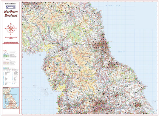
Postcode District Map 4 - Northern England - Digital Download
Regular price £9.99Regular priceUnit price per -
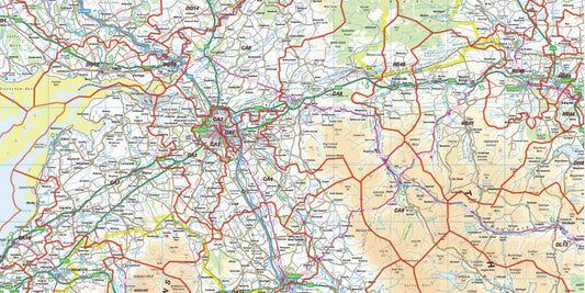
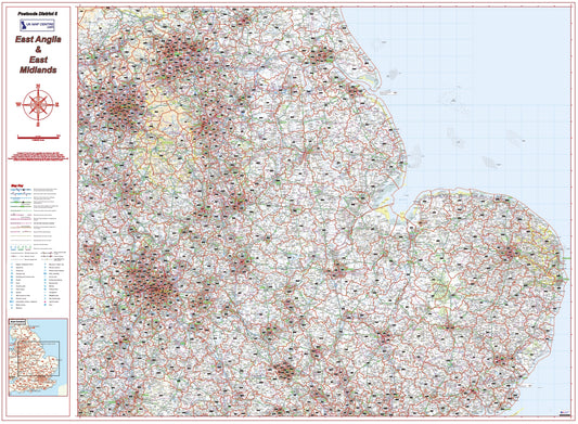
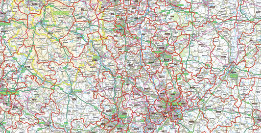
Postcode District Map 5 - East Midlands & East Anglia - Digital Download
Regular price £9.99Regular priceUnit price per -
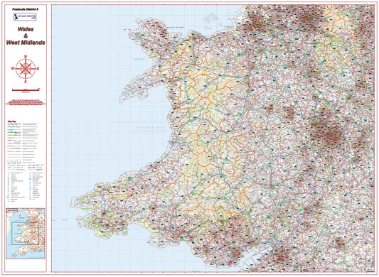
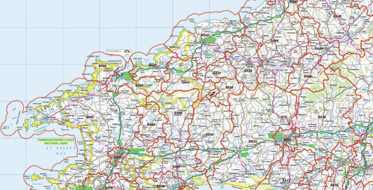
Postcode District Map 6 - Wales & West Midlands - Digital Download
Regular price £9.99Regular priceUnit price per -
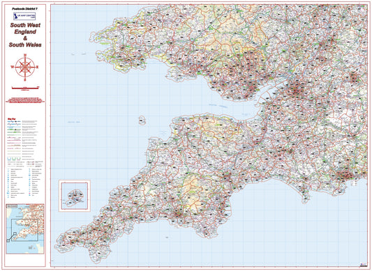
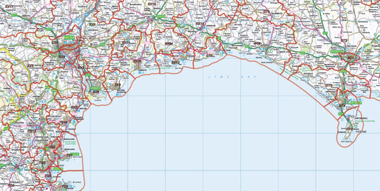
Postcode District Map 7 - South West England & South Wales - Digital Download
Regular price £9.99Regular priceUnit price per -
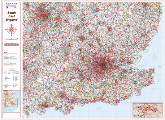
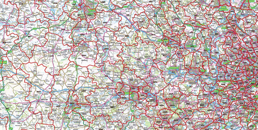
Postcode District Map 8 - South East England - Digital Download
Regular price £9.99Regular priceUnit price per -
Postcode District Map Series - Full UK - Digital Download
Regular price £79.92Regular priceUnit price per