FREQUENTLY ASKED QUESTIONS
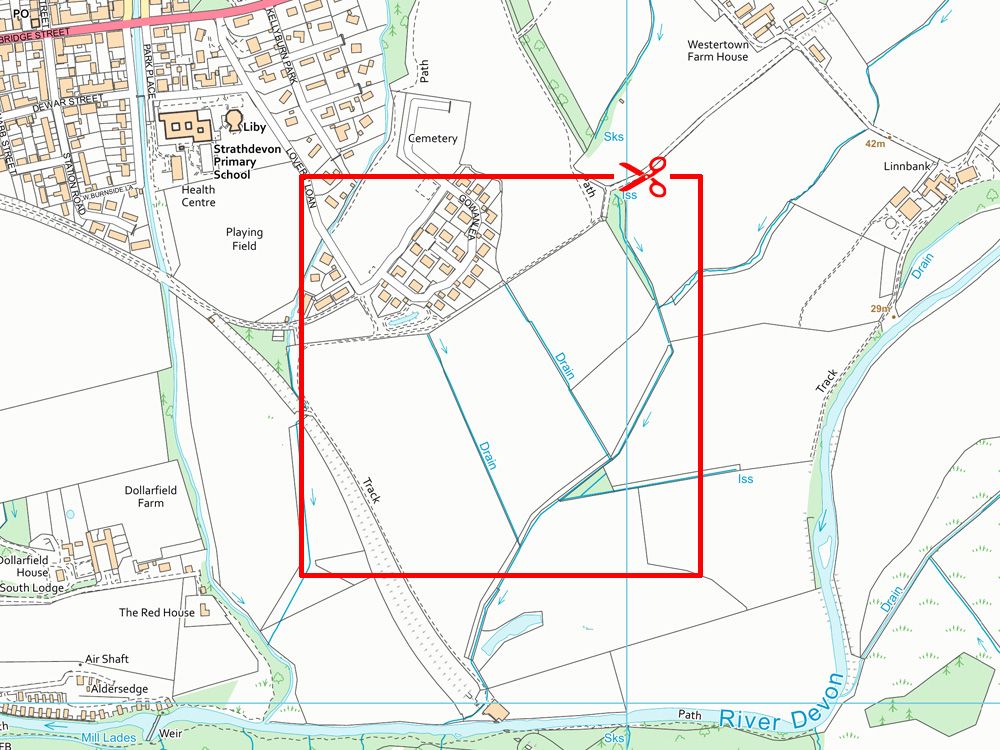
What is OS 1:10,000 scale GeoTIFF data?
OS 1:10,000 scale GeoTIFF data consists of ortho-rectified raster maps created from Ordnance Survey VectorMap Local. Provided as seamless, full-colour GeoTIFF files with associated world files, they're specifically designed for GIS software use.
Why is GeoTIFF format useful for GIS?
GeoTIFF is a georeferenced raster file format embedding geographic coordinates directly within the file. This makes it ideal for accurate importing into GIS or CAD software without the need for separate external world files.
At what scale and resolution should I use OS 1:10,000 GeoTIFF data?
It's optimally viewed between scales of 1:3,000 and 1:12,000, with the base nominal scale set at 1:10,000.
What geographic coverage does OS 1:10,000 GeoTIFF data include?
It includes comprehensive national coverage of Great Britain (excluding Northern Ireland), provided through seamless tiling designed to avoid unnatural breaks between geographic features.
Can I add height data such as contour lines?
Yes—optional 5-metre contour lines can be included as an overlay, adding enhanced topographic detail to your raster map.
How quickly is OS 1:10,000 GeoTIFF data delivered?
Your GeoTIFF data is delivered digitally via email or download link, typically within 20–30 minutes during operational hours (7 am–11 pm daily). Larger orders may require slightly longer processing times. If you don't see your order promptly, please check your spam or junk folders first.
Is the OS 1:10,000 GeoTIFF data OS-licensed, and do I need my own licence?
No, you don't need your own licence. UK Map Centre provides a fully compliant Ordnance Survey licence. Licence details will be included in your delivery email, giving you unlimited usage rights within the licence period.
What are common uses for OS 1:10,000 scale GeoTIFF data?
OS 1:10,000 GeoTIFFs are ideal for:
- Regional site planning
- Environmental mapping
- Mid-scale GIS backdrop mapping
- CAD overlays where detailed vector manipulation isn't necessary
What's the difference between 1:10,000 raster and 1:10,000 vector data?
Raster GeoTIFF data provides a static visual backdrop image, while vector data formats (GML or GeoPackage) allow you to manipulate, style, and extract specific map features. If vector capability is needed, explore our dedicated Vector Map Local 10K page.
What does OS 1:10,000 raster data replace or update?
The OS 1:10,000 raster replaces the previous OS Landplan product. It's derived from current OS VectorMap Local data, featuring enhanced clarity, improved accuracy, and updated building geometry.
Access the Latest 10K Data from a Trusted OS Premium Partner.