


Ordnance Survey Street Mapping 1:10 000 Scale Digital Extracts
Available Formats via Email: PDF • TIFF • JPG • BMP • PNG • DOCX • WORD
OS Premium Partner • OS Licensed Product • Cost Effective 10K Product • Ideal for emergency evacuation packs • Instant Email Delivery


Street-level mapping with named roads, buildings, river and local context - clear and readable Ideal for village planning on a budget - suburban streets, buildings and green spaces at a glance Available from A4 to A0 - choose the sheet size that covers your town, neighbourhood or event area Open data free to copy - named roads, farms and village detail under the Open Government Licence Residential streets, crescents and cul-de-sacs - the detail that makes neighbourhood planning simple Clear contextual mapping for offices, public buildings and business premises Use as part of an office or business evacuation pack - streets, exits and assembly areas on one sheet Open Government Licence - unlimited printing, copying and commercial use at no extra cost
Contains OS data © Crown copyright and database rights 2026
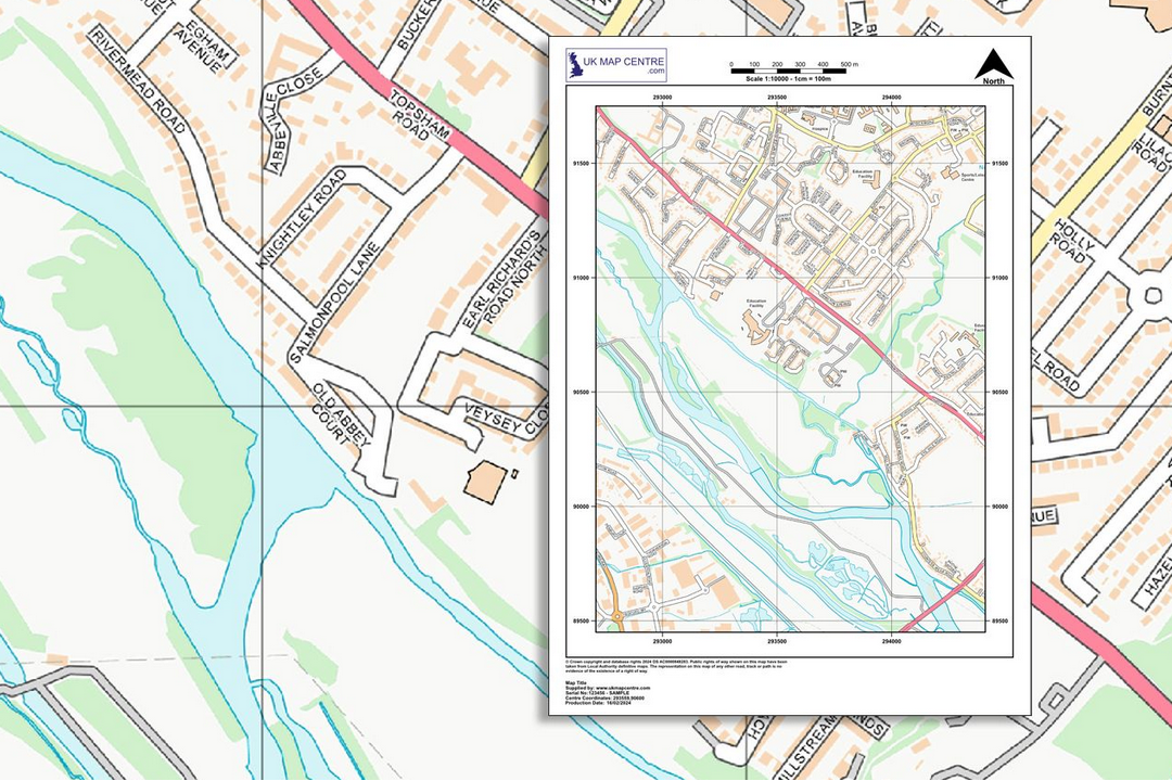
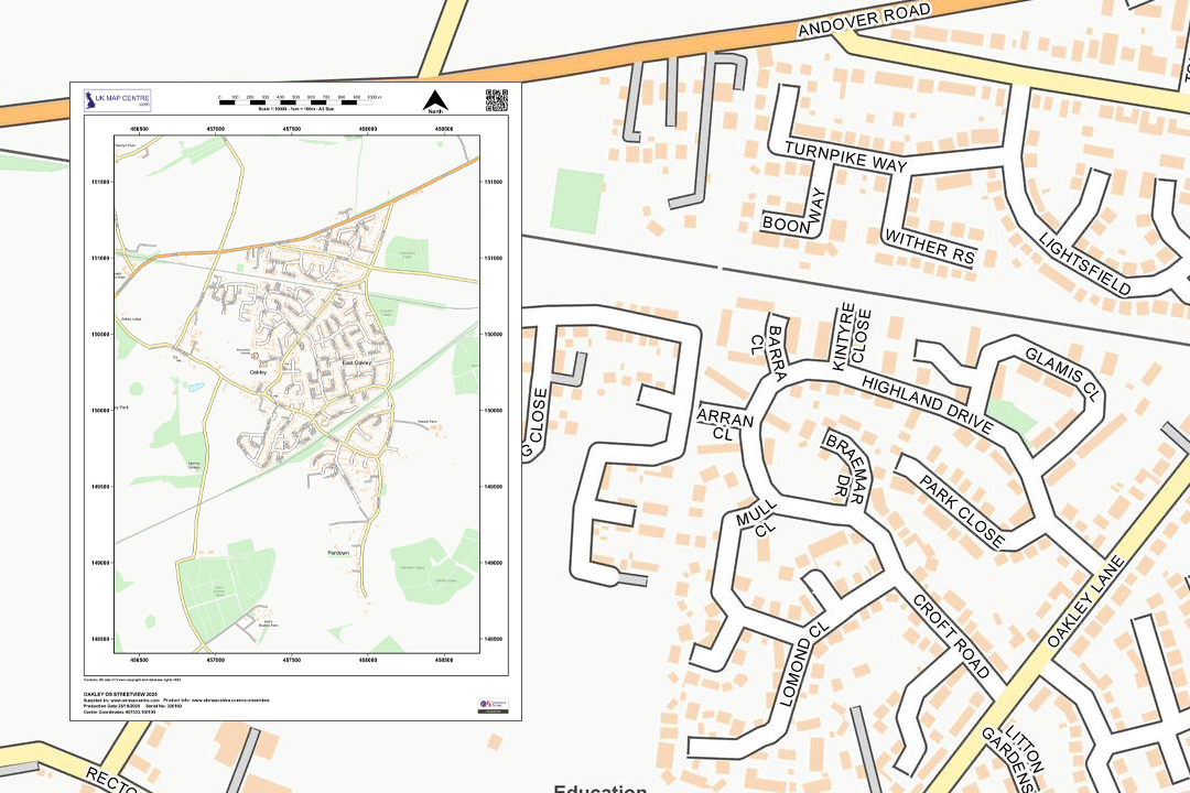
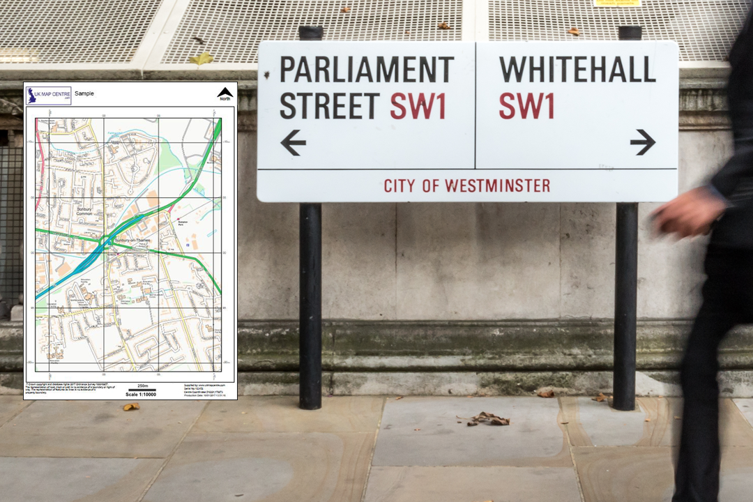
OS Street Map 1:10 000 Extract
- Colour only
- PDF, TIFF, JPG, PNG
- A4 to A0 size
- Open Government Licence
- Unlimited printing
- North Arrow
- Scale Bar
- 1 cm = 100 m
Ordnance Survey Street Mapping 1:10 000 Scale - Clear Contextual Mapping for Everyday Use
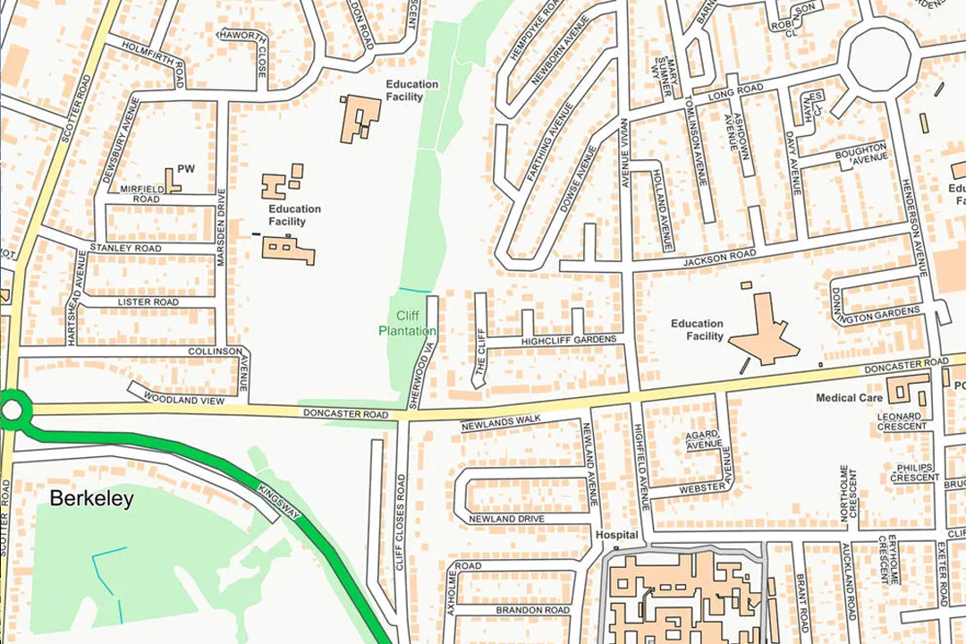
The OS Street Map extract is a clean, simplified street-level map of Great Britain derived from OS Open Map Local (formerly OS StreetView). It shows named streets, buildings, green spaces, functional sites and local landmarks at a scale where individual roads and neighbourhoods are easy to read - without the property-level complexity of OS MasterMap. If you need a clear contextual backdrop for a leaflet, a website, an emergency plan or a public information document, this is the product to use.
At 1:10 000, 1 centimetre on the paper equals 100 metres on the ground. An A4 sheet covers roughly 1.7 km by 2.3 km - enough for a town centre, a neighbourhood or a campus. The data is updated every six months in April and October.
Pick your centre point, choose a paper size and file format, pay online and the extract is emailed to you in around 30 minutes, seven days a week. This product is supplied under the Open Government Licence, so you can print unlimited copies, distribute the map freely and use it commercially without additional fees.
What Is OS Street Mapping at 1:10 000?
OS Open Map Local is one of the most detailed open mapping products available from Ordnance Survey. It sits between a basic road map and the full detail of OS MasterMap - showing enough to navigate a neighbourhood, locate a building or understand the layout of a town without overwhelming the reader with survey-grade geometry. Our street map extract is centred on the location you search for and cut to the sheet size you need.
Clear Street-Level Context
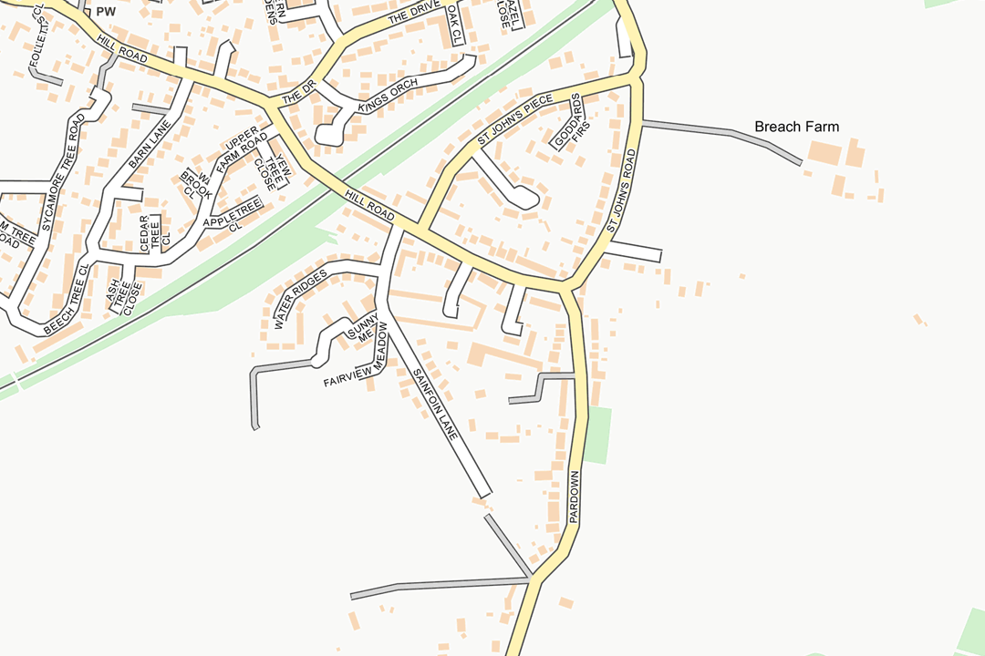
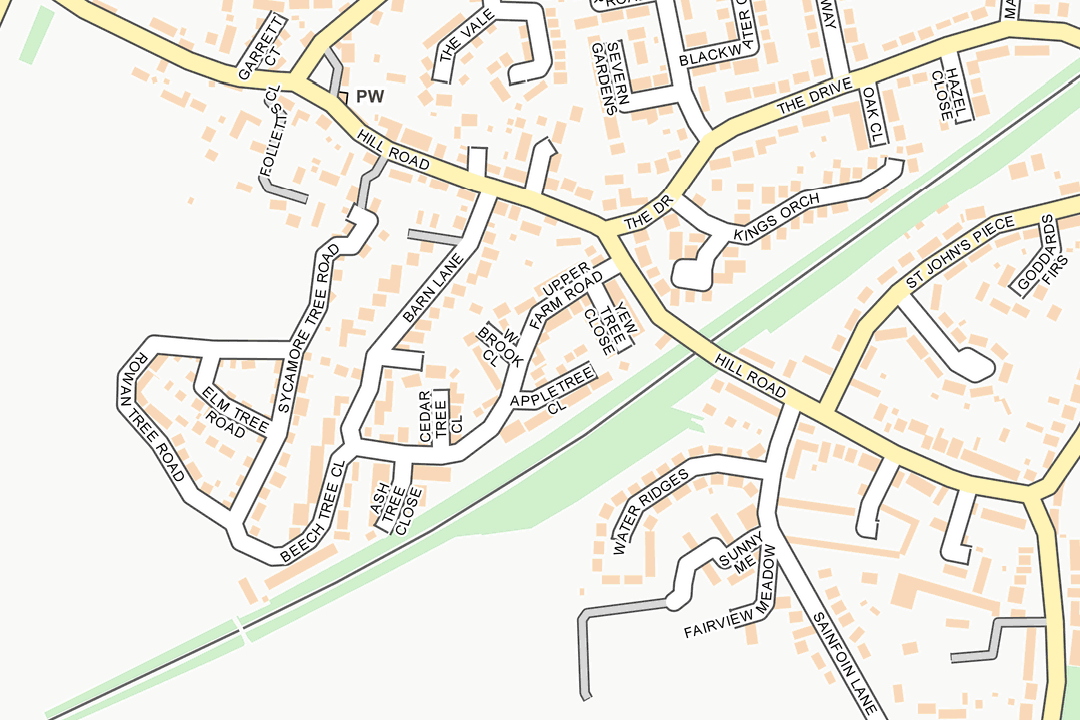
Named streets, important buildings, functional sites such as schools and hospitals, green spaces, woodland and water features. The map reads like a simplified street atlas - designed to give context rather than survey-level precision.
Open Government Licence
Supplied under the Open Government Licence (OGL), so you can print as many copies as you need, distribute them publicly, use the map commercially and adapt or combine it with your own data - no complex licensing terms and no reproduction fees.
Private Roads & Rural Detail
OS Open Map Local includes private roads, tracks and named isolated homes and farms. This detail comes into its own in suburban and rural areas where other open mapping products often leave gaps.
Annotate in Any Art Package
Order as a TIFF or PNG and open the extract in Photoshop, InDesign, Illustrator or Affinity Designer. Add location markers, event zones, evacuation routes, business branding or wayfinding annotations - then export for print or screen.
The OS Street Map sits alongside our premium 1:10 000 VectorMap Local extract, which offers richer detail, contour lines and formal acceptance by HM Land Registry and the Crofting Commission. If you need mapping for a formal submission, use the premium product. If you need a clear, low-cost contextual map for public-facing documents, events and everyday reference, the street map is the practical choice.
When Do I Need an OS Street Map?
The street map extract is for anyone who needs a clear, readable map of a local area - whether for a public document, an internal briefing, a customer-facing leaflet or an emergency plan. Common users and uses include:
Emergency Planning & Evacuation Packs
Fire wardens, safety officers, local resilience forums and facilities managers use the street map for evacuation plans, assembly point maps and emergency access route sheets. The clean layout means staff and visitors can interpret the map instantly under pressure.
Event Logistics & Crowd Management
Festivals, fairs, fun runs, markets and community events. The street map shows roads, car parks, green spaces and buildings at a scale that works for marshalling plans, steward briefings, road-closure notices and public-facing event handouts.
Business Location & Wayfinding
Hotels, offices, retail parks, medical centres and visitor attractions. A street map extract centred on your premises, annotated with your logo and directions, makes a professional "how to find us" insert for websites, brochures and email footers.
Leaflets, Brochures & Public Information
Parish councils, community groups, housing associations and neighbourhood plans. The Open Government Licence means you can print, photocopy and distribute the map freely - ideal for door-drop leaflets, consultation handouts and community newsletters.
Council & Public Sector Reference
Highways officers, waste and recycling teams, housing officers and community safety partnerships use the street map as a clean reference backdrop for internal briefings, service area overviews and public-facing information sheets. The simplified style keeps the message clear for a non-technical audience.
Education & Fieldwork
Schools, colleges and field-study groups use the 1:10 000 street map for geography coursework, urban studies, settlement analysis and local environment projects. The OGL lets teachers print a class set at no additional cost.
Website & App Backdrops
The raster image can be embedded directly into a web page, app or digital kiosk as a contextual backdrop. Show the streets around your business, campus or attraction without relying on a third-party map widget.
Site Orientation & Contractor Briefings
Construction managers, facilities teams and property agents use the street map for site orientation packs, contractor induction handouts and visitor welcome sheets. It shows enough local context to get people to the right entrance without overloading them with technical detail.
If you need detailed property boundaries, contour lines or mapping accepted by HM Land Registry, our 1:10 000 VectorMap Local extract, 1:2500 rural plan or 1:1250 location plan provide the premium detail. The street map is the right product when clarity and ease of use matter more than survey-grade accuracy.
Open Government Licence - Use It Freely
OS Open Map Local is published under the Open Government Licence (OGL) as part of OS OpenData. That means you can copy, distribute, transmit and adapt the data for commercial, educational and personal purposes without complex licensing terms. Print as many copies as you need, embed the map on your website, drop it into a leaflet or combine it with your own data - the licence permits all of this at no additional cost. The only requirement is to include the attribution: "Contains OS data © Crown copyright and database rights 2026".
Further Reading
Not sure which OS map product you need? These guides answer the questions we hear most often:
- How to Print Your OS Map to Scale - Step by Step
- Map Scales Explained: Understanding Ordnance Survey Scale Ratios
- OS Raster Maps: What They Are and When to Use Them
About UK Map Centre LLP

