FREQUENTLY ASKED QUESTIONS
What is OS 1:25,000 GeoTIFF Data?
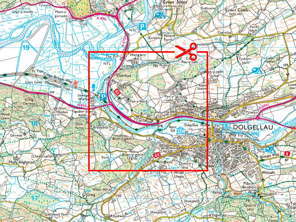
OS 1:25,000 GeoTIFF Data is ortho-rectified raster mapping at a 1:25,000 scale—comparable to the OS Explorer map series—provided as GeoTIFF files with accompanying world files, specifically optimized for GIS software.
Why choose the GeoTIFF format?
The GeoTIFF format embeds geographic coordinates directly within the file, ensuring accurate and seamless integration with GIS and CAD software without requiring additional coordinate files.
What resolution and geographic coverage does OS 1:25,000 GeoTIFF Data offer?
Our OS 1:25,000 GeoTIFF raster data is produced at a 2.5-metre pixel resolution, providing complete coverage of Great Britain (excluding Northern Ireland).
What are common uses for OS 1:25,000 GeoTIFF Data?
OS 1:25,000 GeoTIFF Data is ideal for:
- Environmental mapping
- Rural planning
- Asset management
- Outdoor leisure mapping
- Construction planning
- Landscape assessment
- These maps offer detailed terrain features similar to the OS Explorer map series.
How quickly is OS 1:25,000 GeoTIFF Data delivered, and by what method?
Upon placing your order, you'll typically receive an email with a download link within about 30 minutes (available daily from 7 am to 11 pm). Larger-area requests may require additional processing time. If you don't see your order promptly, please check your junk or spam folders before contacting us.
What's the pricing structure for OS 1:25,000 GeoTIFF Data?
Prices start from approximately £10.31 + VAT for a 4 km × 4 km section, with flexible licensing options and tiered pricing based on user count and duration.
Do I need my own OS licence for OS 1:25,000 GeoTIFF Data?
No—you do not need your own licence. UK Map Centre provides a comprehensive Ordnance Survey licence under their distribution agreement. Licence details are included in your delivery email.
How do OS 1:25,000 GeoTIFFs compare to vector map formats?
GeoTIFF raster files are best suited for visual backdrop mapping. If you require editable map features, such as roads or building outlines, then vector map formats like OS Vector Map Local or OS MasterMap for GIS Users would be more suitable.
Can OS 1:25,000 GeoTIFF tiles be used in both CAD and GIS software?
Yes—OS GeoTIFF tiles are compatible with GIS software such as QGIS or ArcGIS, and they also integrate smoothly into CAD platforms when imported as georeferenced data.
Get GIS ready Maps, Fast. Order your 25K Explorer Raster GeoTIFF from UK Map Centre.