


Ordnance Survey 1:25 000 Scale Raster Tiles - GeoTiff with a worldfile
Available as GeoTIFF Tiles
Ordnance Survey Premium Partner • Fully Licenced official OS Data • Raster Geo-referenced Tile Data
10 km tiles slot together seamlessly - build continuous Explorer coverage across Highland terrain Woodland shading, hill names and farmsteads - tile-based coverage for estate and land management Urban tiles show road networks, buildings and port infrastructure at full Explorer specification Parkland and motorway context on a single tile - add adjacent tiles as your project grows Contour lines, footpaths and golf courses - every Explorer feature present in your GIS tile library Highland forestry and river valleys - tiles deliver the terrain detail woodland managers need Urban tiles cover major infrastructure - serve through GeoServer for licensed web mapping backdrops Field boundaries, footpaths and rural detail - systematic tile coverage for countryside projects
© Crown copyright and database rights 2026 OS AC0000848283
OS 25k Raster Tiles
- 10 km x 10 km set tiles
- GeoTIFF with TFW world file
- Full colour (Explorer palette)
- Footpaths & rights of way
- Contours & vegetation
- Seamless tile joining
- No bounding information
- Updated quarterly
OS 1:25 000 Raster Tiles - Explorer-Level GeoTIFF Mapping for GIS and CAD
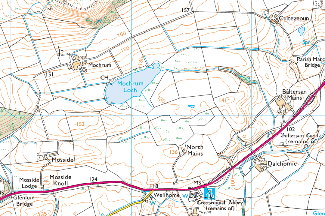
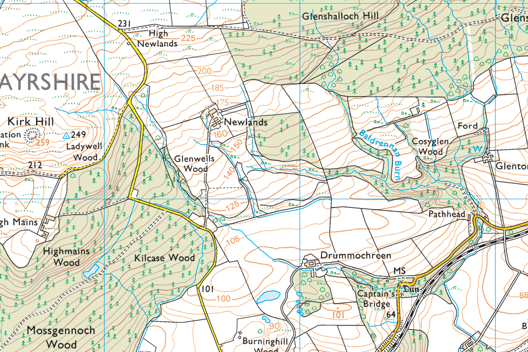
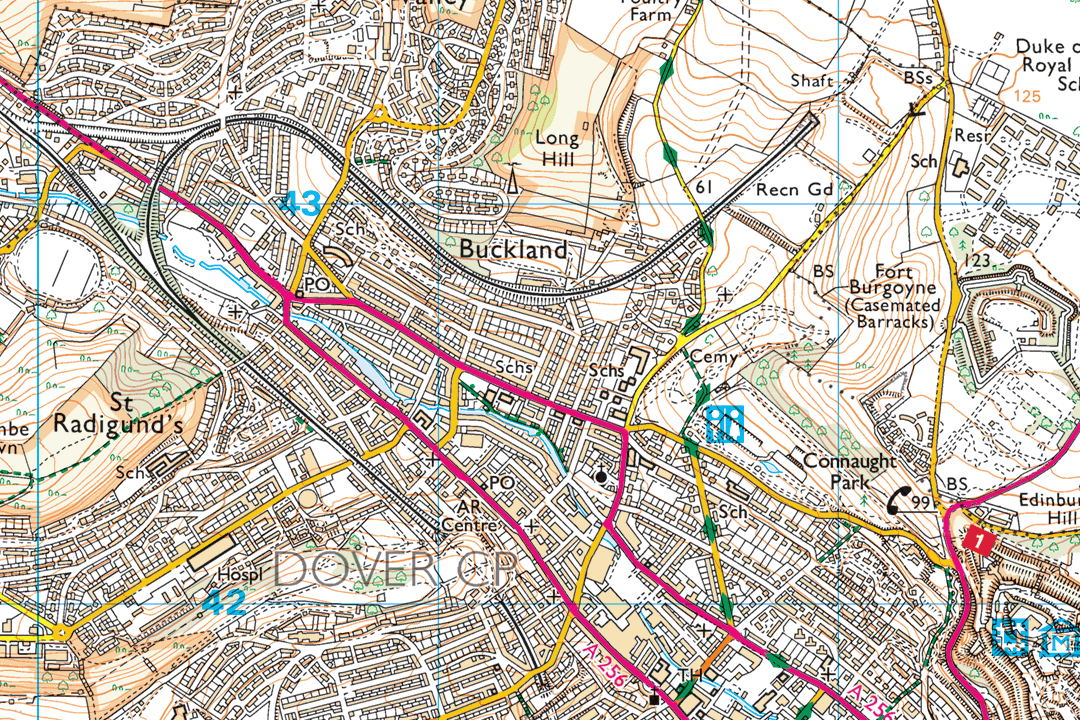
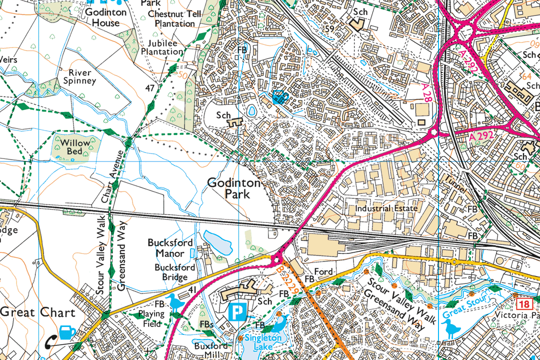
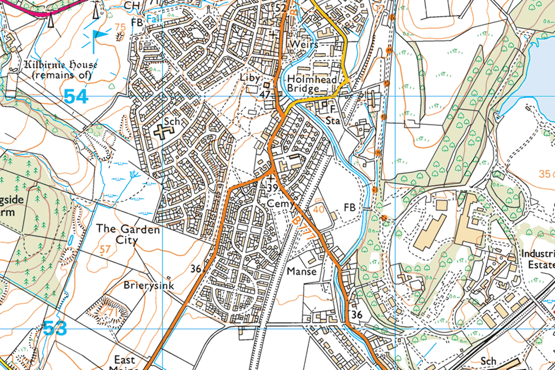
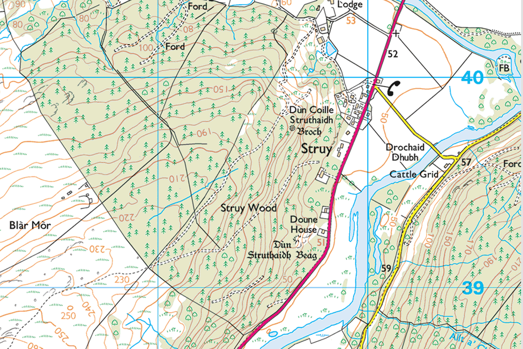
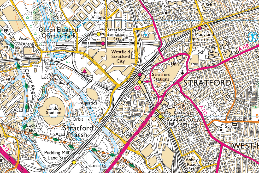
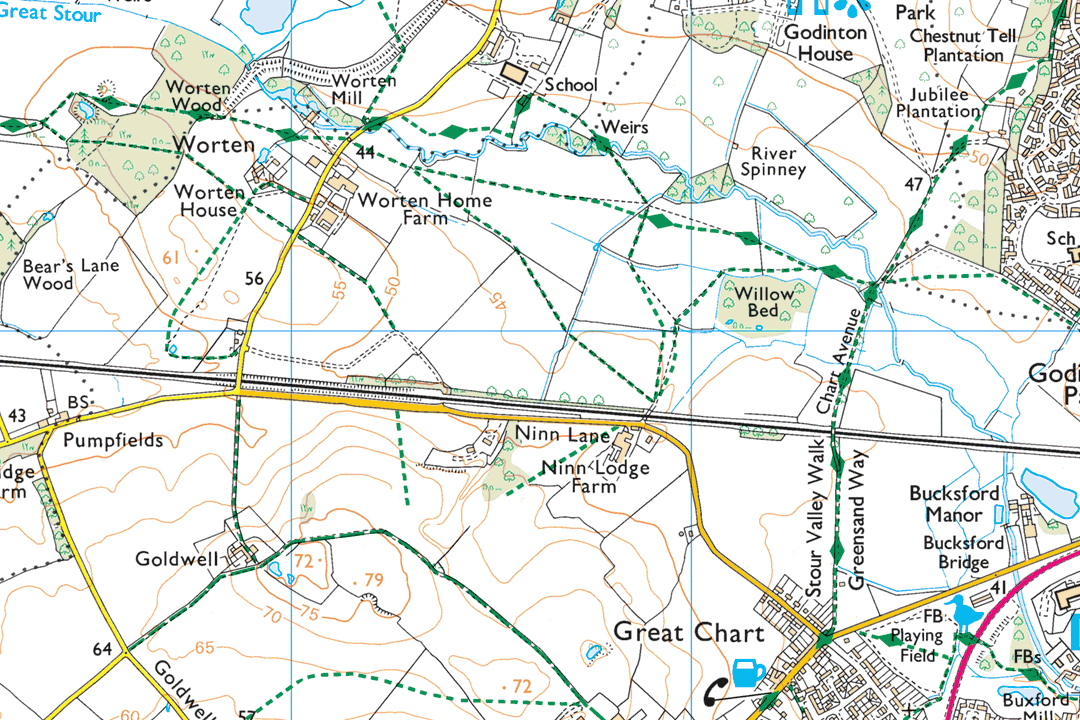
OS 1:25 000 raster tiles are georeferenced 10 km x 10 km GeoTIFF images derived from the OS 1:25 000 Scale Colour Raster dataset - the digital equivalent of the printed OS Explorer map series, delivered as raw tile data for loading directly into GIS or CAD software. Each tile ships with a TFW world file and covers a fixed 10 km square on the OS National Grid. Tiles join seamlessly so you can build continuous Explorer-level coverage across any area of Great Britain.
At 1:25 000 the mapping shows a level of countryside detail that no other OS raster product matches - footpaths, bridleways, National Trails, access land, field boundaries, contour lines, vegetation types, scree slopes and shoreline detail are all present. That richness makes the tiles the preferred GIS backdrop for environmental consultancy, estate management, rights of way analysis and any spatial project where land-use features and public access routes need to be visible beneath your own data layers. The dataset is updated quarterly in March, June, September and December.
Select the tiles you need on the interactive map, pay online and the GeoTIFF tiles are emailed to you in around 30 minutes, seven days a week.
What Are OS 1:25 000 Raster Tiles?
Each tile is a flat, georeferenced raster image covering exactly 10 km x 10 km of the OS National Grid. There are no grid overlays, no title block and no bounding frame - just a clean GeoTIFF that your software positions automatically using the embedded British National Grid coordinate reference system (EPSG:27700). The mapping carries the full OS Explorer specification: rights of way, access land, contours, vegetation, tourist symbols and all the terrain detail that makes the Explorer series the standard for countryside professionals.
Explorer Detail in GIS-Ready Format
The same footpaths, bridleways, National Trails, access land boundaries, contour lines, vegetation types and field boundaries found on a printed OS Explorer map - delivered as a georeferenced GeoTIFF tile that loads straight into your GIS or CAD project.
Seamless Regional Coverage
Tiles follow the OS National Grid and join edge to edge without gaps or overlaps. Start with the tiles covering your project area and add adjacent tiles later as your coverage needs grow - every new purchase slots in next to your existing holding.
Overlay Your Own Data
Load the tiles as a backdrop in your GIS and overlay ecological surveys, habitat polygons, rights of way audits, estate boundaries, pipeline corridors or any other project-specific vector layer. The Explorer detail provides rich geographic context without overwhelming your own data.
Unlimited GIS Outputs Under Licence
Your OS licence permits unlimited PDF or image outputs from your GIS software at any scale. Print as many map sheets as your project requires from the tile data - there is no per-print charge on top of the licence fee.
Need a Single Project Area Rather Than Full Tiles?
If your project covers a single site and you do not need full 10 km x 10 km tiles, our 1:25k GeoTIFF data sections let you frame a custom area and receive a single GeoTIFF covering just the extent you need. Sections are ideal for one-off project areas; tiles are better when you are building systematic coverage or plan to extend your data holding over time.
Not a GIS User?
If you do not use GIS or CAD software and just need a printed 1:25 000 Explorer map of a specific area, our ready-to-use extracts are the easier option. They arrive as a PDF, TIFF or JPG at the paper size you choose - no specialist software required:
1:25 000 Explorer Map Extract - the same mapping as the orange fold-out OS Explorer maps, site-centred and delivered digitally. Ideal for walking, hiking, cycling, outdoor instruction and environmental reports.
When Do I Need 1:25 000 Raster Tiles?
These tiles are for GIS and CAD professionals who need a licensed OS backdrop with the rich countryside detail of the Explorer series. The 10 km grid means each tile covers a wide landscape with footpaths, access land, contours and vegetation all visible. Common users and uses include:
Environmental Consultancy & Ecology
Ecologists, environmental consultants and habitat surveyors load 25k tiles as a base for Phase 1 habitat mapping, ecological constraint analysis, environmental impact assessment and agri-environment scheme reporting. The Explorer detail - vegetation types, field boundaries, watercourses and contours - provides essential spatial context.
Rights of Way & Access Management
Local authority definitive map teams, access officers and countryside managers use the tiles as a GIS backdrop for auditing public rights of way, processing diversion orders, managing access land boundaries and maintaining the definitive map and statement.
Estate & Land Management
Land agents, estate managers and rural surveyors load tiles beneath ownership boundaries, sporting rights, tenancy parcels and conservation designations. The Explorer-level detail shows field boundaries, woodland blocks and public access routes that simpler backdrops omit.
Forestry & Woodland Planning
Foresters and woodland managers use the tiles for compartment mapping, felling coupe design, access route planning and long-term forest plans. Contour lines and vegetation detail help with planting design on sloped ground and species selection based on aspect and elevation.
National Parks & Conservation Bodies
National park authorities, AONB partnerships, Natural England, NatureScot and Natural Resources Wales use 25k tiles as a standard GIS backdrop for landscape character assessment, conservation area appraisals, visitor management and habitat connectivity modelling.
Energy & Infrastructure Projects
Windfarm developers, pipeline operators and utility companies use Explorer-level tiles for visual impact assessment, corridor routing, constraint mapping and public consultation material where rights of way and access land need to be visible alongside project infrastructure.
Archaeology & Heritage
Heritage consultants and archaeological units use the tiles as a GIS base for desk-based assessments, historic landscape characterisation and settings analysis. The terrain detail - contours, vegetation, earthwork indicators - supports interpretation of archaeological features in the landscape.
Web Mapping & Internal Portals
GIS analysts serve tiles through GeoServer, MapServer or cloud tile services to provide a licensed OS Explorer backdrop for internal web maps, countryside management portals and public-facing interactive maps where rights of way and access information need to be shown.
Further Reading
New to working with GeoTIFF tiles in GIS? These guides cover the essentials:
- How to Open TIF and TFW Files in QGIS - Step by Step
- OS Raster Maps: What They Are and When to Use Them
- OS Vector and Raster Mapping Fully Explained
About UK Map Centre LLP

