Ordnance Survey 1:50 000 Scale Raster Data - 20km x 20km Geo-referenced Tiles supplied in GeoTiff Format with a worldfile
OS 50k Raster Tiles - Overview
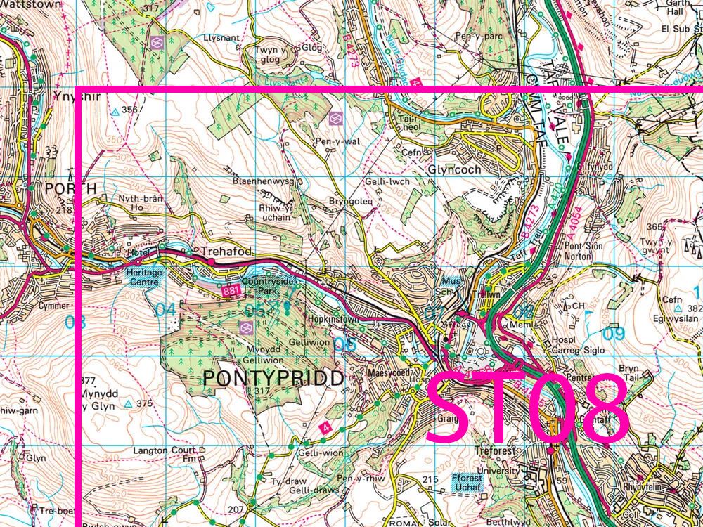
The OS 1:50,000 Raster Tiles are high-resolution GeoTIFF images derived from OS Landranger maps, each covering a 20 km × 20 km area. They provide fully georeferenced backdrop mapping, ideal for GIS workflows, environmental studies, and geographic visualisation.
Order 50k Raster Tiles with full database rights and official licensing to ensure your mapping meets professional standards. Fast digital delivery in 30 minutes.
What is an OS 50K Raster Tile?
OS 1:50,000 Scale Colour Raster provides detailed, up-to-date mapping of Great Britain in a GeoTIFF format. Each OS 50k Raster Tile includes more than roads and boundaries, showing important buildings, tourist and heritage attractions, cycle routes, and even nearby sports centres or nature reserves.
Key features of the 50K raster
- Designed for use with GIS systems
- Georeferencing file also supplied (World File)
- Flat image for GIS backdrop mapping
- Officially licenced and compliant for professional use
- Source for OS 50k Landranger Maps
- Unlimited outputting (e.g. PDFs) from GIS at any scale within the licence term, permitted for Internal Business Use (IBU)
When do I need an OS 50K Raster Map Tile?
OS 50k Raster Tiles are essential when you need contextual mapping that shows surroundings beyond boundary lines.
Common uses
- Reviewing landmarks, heritage attractions, and nearby buildings
- Assessing access via local transport links, paths, sports centres or local pubs
- Analysing areas of public interest, including nature reserves or other environmental sites
- Supporting emergency control centre staff to pinpoint incident locations
- Providing a geo-referenced alternative to standard PDF Landranger maps, giving a high-quality map backdrop for GIS
- Overlaying additional data onto a familiar 1:50,000 map style in raster format