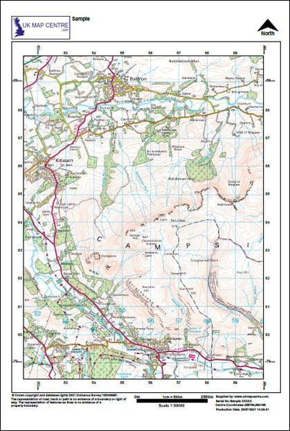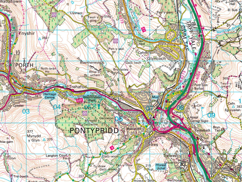
Ordnance Survey (OS) Landranger Maps — 1:50,000 Colour Landranger Scale Map Extracts
Quickly understand your site’s surroundings with an OS Landranger Map at a 1:50,000 scale. These maps are suitable for general planning reference, route planning and land use review. They are not typically used for formal submissions like Land Registry or planning applications, which require large-scale maps - more for leisure use.
Plan routes, assess surroundings and explore terrain with OS Landranger maps from UK Map Centre. Order online in your preferred format.
WHAT IS AN OS LANDRANGER 1:50000 SCALE MAP?
An OS Landranger map is a colour map produced by Ordnance Survey at a 1:50,000 scale, where 1 cm on the map equals 500 metres on the ground. These maps offer a broad overview of the landscape. They cover large areas, showing key elements such as towns, roads, paths, rivers and highly detailed contour mapping to illustrate changes in elevation.
Ideal for recreational use, general land assessment and route planning, these maps are widely used by walkers, cyclists and outdoor enthusiasts, as well as by professionals requiring wide-area reference mapping. While not suitable for highly detailed site planning, these maps provide valuable contextual information for location-based decisions.
WHEN DO I NEED AN OS 1:50000 SCALE MAP?
This map helps local planners spot brownfield sites ripe for development and analyse the quality of local transport links. Railways and important roads are clearly colour-coded:
- Helping ramblers and landowners
- Ideal for a consultation document
- Various tourist and heritage attractions are shown
- Roads and footpaths
- Highlights cycle routes