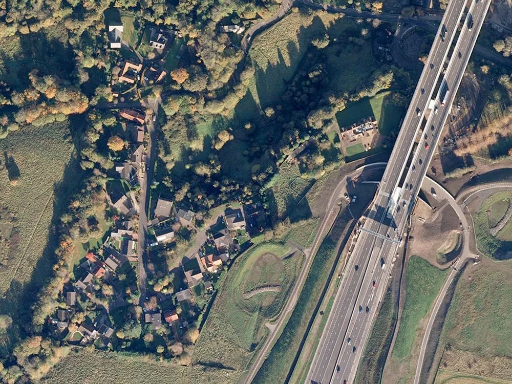
Ordnance Survey 1km x 1km Aerial Photography Tiles of Great Britain - OrthoRectified (no building lean)
Ordnance Survey 1km x 1km Aerial Photography Tiles are high-resolution, ortho-rectified aerial image tiles precisely aligned with the OS MasterMap Topography Layer. These aerial tiles are ideal for overlaying with vector maps, CAD datasets, and GIS mapping projects, providing rich visual context.
Buy OS Aerial Photography Tiles online today and get high-resolution imagery delivered to your inbox within 30 minutes.
What Is an OS 1km x 1km Aerial Photography Tile?
The OS MasterMap® Imagery Layer uses the same aerial imagery that supports Ordnance Survey’s large-scale data updates. Their processing software creates true-orthorectified imagery, removing building lean to deliver a consistent top-down view without geometric distortions.
These aerial photo tiles are widely used for:
- Risk management and analysis
- Planning applications and site mapping
- Property development and land assessment
- Asset management and infrastructure developments
- Agricultural planning and services
- Environmental monitoring and reporting
In addition, the Imagery Layer aligns with the OS MasterMap® Topographical Layer for accurate overlays, and your licence allows unlimited PDF or image outputs from GIS software of any scale.
Highlights:
- 1km x 1km GeoTIFF File
- Georeferencing world file included (.tfw)
- XML file with relevant metadata included
- Flattened raster image
- No bounding info (e.g. grid)
- Full colour
- Best viewed between map scales 1:1,250 to 1:10,000
- Seamless joining within any GIS setup
When to Use Aerial Mapping
OS MasterMap® Aerial Photography Tiles are ideal for professionals who need accurate mapping to support planning and analysis.
These aerial tiles are excellent for:
- Visual context in precise GIS mapping
- Incredibly detailed site analysis for surveyors, planners, and engineers
- CAD overlays and design support with a real-world view of each location
- Landscape architecture and aerial topography
- Planning assistance where aerial photography maps provide supporting detail
- Environmental monitoring services using UK aerial imagery
- Seamless integration with OS MasterMap Topography Layer and other OS data
Buy aerial photography tiles online to access ready-to-use maps across a wide range of professional developments.
NOTE: For users without GIS software, alternative Ordnance Survey aerial photos are also available.