FREQUENTLY ASKED QUESTIONS
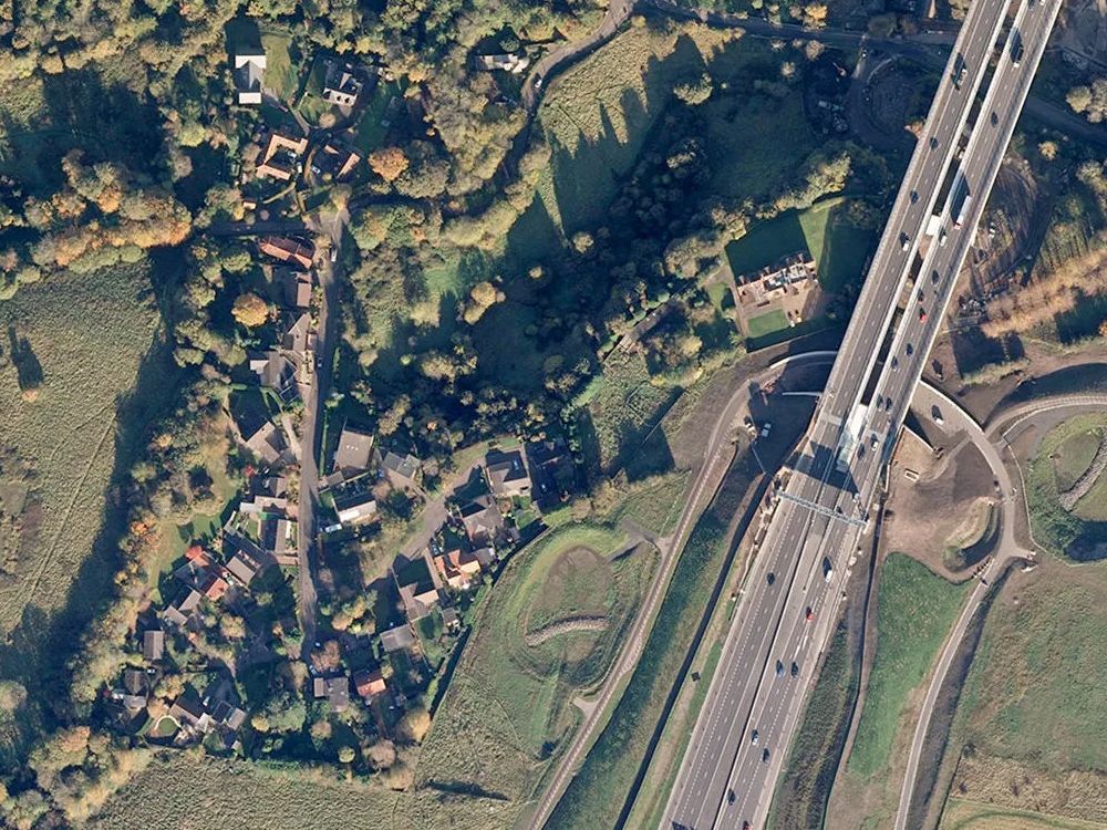
What are OS MasterMap Aerial Tiles?
OS MasterMap Aerial Tiles are high-resolution, ortho-rectified aerial image tiles precisely aligned with the OS MasterMap Topography Layer. These aerial tiles are ideal for overlaying with vector maps, CAD datasets, and GIS mapping projects, providing rich visual context.
What size are the OS MasterMap Aerial Tiles?
Each aerial tile typically covers an area of 1 km × 1 km, suitable for detailed planning, surveying, asset management, and environmental assessments.
Which file formats are available for OS MasterMap Aerial Tiles?
OS MasterMap Aerial Tiles are supplied in GeoTIFF format, optimized for GIS use. Each tile is fully georeferenced and accompanied by an XML file detailing tile specifications, making them immediately ready for import into GIS and CAD software.
How can OS MasterMap Aerial Tiles be used?
These aerial tiles are excellent for:
- Visual context in precise GIS mapping
- Detailed site analysis
- CAD overlays and design support
- Landscape architecture
- Planning assistance
- Environmental assessments
They seamlessly integrate with OS MasterMap vector data.
How current is the aerial imagery in OS MasterMap Aerial Tiles?
Aerial imagery is regularly updated, with over 90% refreshed within the past 3 to 5 years. You'll receive the latest imagery available for your selected location.
How are OS MasterMap Aerial Tiles delivered and licensed?
Aerial tiles are delivered digitally via email, typically within 30 minutes of ordering (available daily from 7 am–11 pm). Larger or complex area orders might take slightly longer.
Each tile is fully licensed for official use under UK Map Centre’s agreement, and detailed licensing information is included with your delivery email. If you don't see your order promptly, please check your spam or junk folder before contacting us.
Can I specify my own area for OS MasterMap Aerial Tiles?
Absolutely—you're free to select the precise tiles that cover your specific area or project requirements. We also offer smaller or custom-sized aerial imagery via our dedicated OS MasterMap Aerial Sections page.
Are OS MasterMap Aerial Tiles accepted for planning applications?
While OS MasterMap Aerial Tiles provide excellent supplementary visual context, they aren't suitable as primary submission maps for planning applications. Planning authorities typically require standard OS MasterMap plans (such as 1:1250 location plans or 1:500 site/block plans) as the primary documentation.
Can I overlay OS MasterMap Aerial Tiles in CAD or GIS software?
Yes—GeoTIFF-formatted aerial tiles are fully compatible with GIS software (like QGIS and ArcGIS) as well as CAD software, including the latest versions of AutoCAD Map 3D and Civil 3D.
Professional-Grade Background Maps for GIS, CAD & Spatial Projects. from UK Map Centre.