OS Terrain 5 — Digital Terrain Tiles (5km × 5km) for GIS Systems
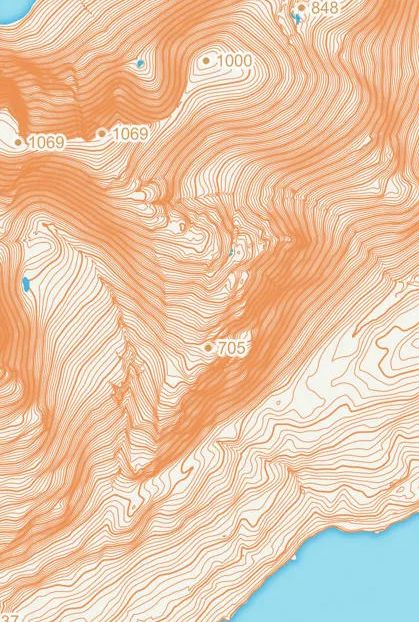
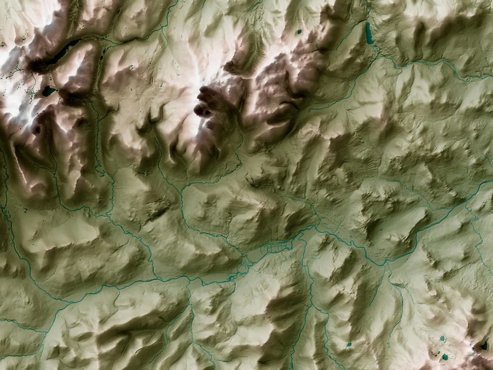
OS Terrain 5 is a detailed Digital Terrain Model (DTM) from Ordnance Survey. Supplied as 5km × 5km tiles, it provides height data at five metre intervals across Great Britain. This makes it ideal for professionals who need quick, reliable landscape data for planning, analysis, or visual impact studies.
The dataset integrates with other OS digital products, including the OS MasterMap Topography Layer. This allows you to build accurate virtual views without time-consuming site visits.
What is OS Terrain 5?
OS Terrain 5 is a mid-resolution DTM that models significant landscape features including roads, railways, slopes, quarries, and lakes. It creates a true virtual landscape that supports planners, surveyors, and engineers.
This dataset provides the third dimension for Geographical Information Systems (GIS) projects. Heighted points are measured at five metre intervals, using the same sources that update Ordnance Survey digital products. This ensures accuracy for both small projects and major infrastructure.
Typical Applications Include:
- Asset and site management
- Environmental analysis
- Viewshed modelling
- Landscape visualisation and fly-through sequences
- Planning and development
- Wind farm location planning
- Flood risk assessment
- Foundation for 3D modelling
When Do I Need OS Terrain 5?
OS Terrain 5 is essential when accurate elevation data is required to show the lie of the land. It provides professionals with a reliable foundation for complex projects.
It is particularly valuable for:
- Model construction projects where foundation levels, gradients, and cut-and-fill calculations are critical.
- Major infrastructure, including new railways, transport corridors, and utilities in exposed upland areas.
- Energy planning, including siting wind turbines, power output assessment, and mitigating risks from flash floods on roads.
- Telecommunications work, such as locating mobile phone masts and testing signal coverage.
- Strategic planning that requires a wider landscape and visual impact analysis.
Terrain 5 is ideal for data-hungry users who require a map with contour lines in the UK to guide large-scale planning decisions.