FREQUENTLY ASKED QUESTIONS
What is OS Terrain Chunks for GIS users?
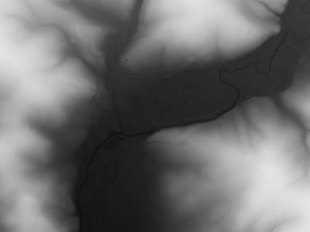
OS Terrain Chunks is a detailed Digital Terrain Model (DTM) product derived from Ordnance Survey’s Terrain® 5 dataset. It provides highly accurate elevation data at 5-metre resolution, ideal for integration into GIS workflows.
Unlike purchasing full OS tiles (also available on our OS Terrain 5m Grid & Contours Tiles page), OS Terrain Chunks allow you to precisely trim, cut, and rotate data to fit your specific GIS or project location—perfect for smaller or bespoke projects without the need for full-tile purchases.
How frequently is OS Terrain GIS data updated?
The OS Terrain dataset is updated quarterly (January, April, July, October), ensuring your GIS projects always have access to current and accurate elevation and contour information for precise environmental modelling, planning, and visualisation.
What applications is OS Terrain GIS suitable for?
OS Terrain GIS data is ideal for:
- 3D terrain visualisation
- Flood-risk assessment and hydrological modelling
- Line-of-sight and signal propagation studies
- Wind-farm location planning
- Landscape and environmental impact assessments
- This reliable digital terrain model greatly reduces the need for extensive field surveys.
Do I need an Ordnance Survey licence to use OS Terrain GIS data?
No, you do not require your own OS licence. As an authorised OS Premium Partner, UK Map Centre supplies OS Terrain GIS data under an Internal Business Use (IBU) licence included with your data. This IBU licence permits unlimited internal printing, export, and analysis within your licensed period.
However, if you require extended use—such as external publishing, commercial applications, or online distribution—Ordnance Survey offers additional bolt-on licences. For further details, please visit Ordnance Survey’s official licensing page.
What's the difference between a DEM and a DTM in GIS?
Digital Elevation Model (DEM) generally refers to raster elevation datasets representing the surface elevation, which can include both natural and man-made features like buildings and vegetation.
Digital Terrain Model (DTM) specifically represents the bare-earth terrain. DTMs have had man-made structures, vegetation, and other surface features digitally removed, providing a clean elevation model of the natural landscape.
In short, a DEM can include surface features, while a DTM strictly represents natural terrain elevations.
Trusted GIS Base Mapping from Ordnance Survey Experts.