Ordnance Survey 1:10,000 Map (Raster) for Forestry and Land Registry
Ideal for forestry, land registry submissions, and rural estate planning, our 1:10,000 scale Ordnance Survey maps provide an accurate overview of the terrain, boundaries, and road names across large rural areas.
Order large-scale OS maps online and get your council-compliant PDF map by email in under 20 minutes.
What is a 1:10,000 Scale Map?
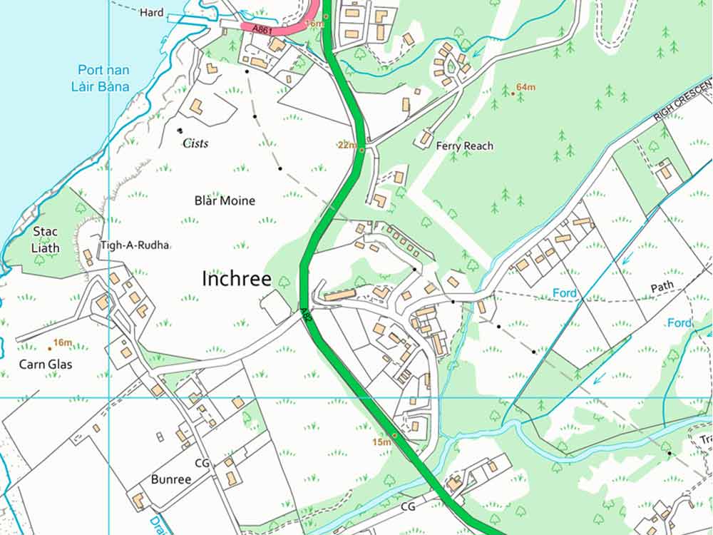
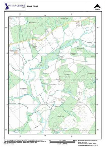
1:10,000 maps are a large-scale Ordnance Survey raster map designed to show clear topographical details over wider rural areas. It includes fences, field boundaries, buildings, and topographic relief with optional 5m contour lines.
This product uses Ordnance Survey 1:10,000 VectorMap® Local Raster data and replaces the discontinued OS Landplan. All OS raster maps are supplied under the UK Map Centre’s licensed OS agreement and include the latest available data.
Key Features & Uses:
- Allows you to compare different rural sites across the UK using consistent OS mapping
- Useful for creating rural land plans for vegetation, farming, estate work, or early planning decisions
- Works well as background mapping for reports on wildlife, flooding, or heritage areas
- Helps check boundaries and land shapes before submitting Ordnance Survey plans for the Land Registry
- Covers more ground than large-scale OS maps, making it suitable for 1:10,000 map scale use
Large-scale Ordnance Survey maps offer a balanced level of information and coverage. They’re ideal when a 1:5,000 is too zoomed in and a 1:25,000 is not detailed enough.
When Do I Need a 1:10,000 Rural Site Location Plan?
This map is essential for rural developments where a broader land context is needed. It supports planning submissions and is commonly used when a development site spans a large area.
Common Users Include:
- Forestry managers
- Environmental consultants
- Land and estate managers
- Architects and planning agents working on rural projects
- Lawyers handling land registry submissions


