


Ordnance Survey 1:25 000 scale GeoTiff Raster Data for use with GIS systems
GIS Raster Data - GeoTiff
OS Premium Licenced Partner • Official OS mapping • 25K Raster Data
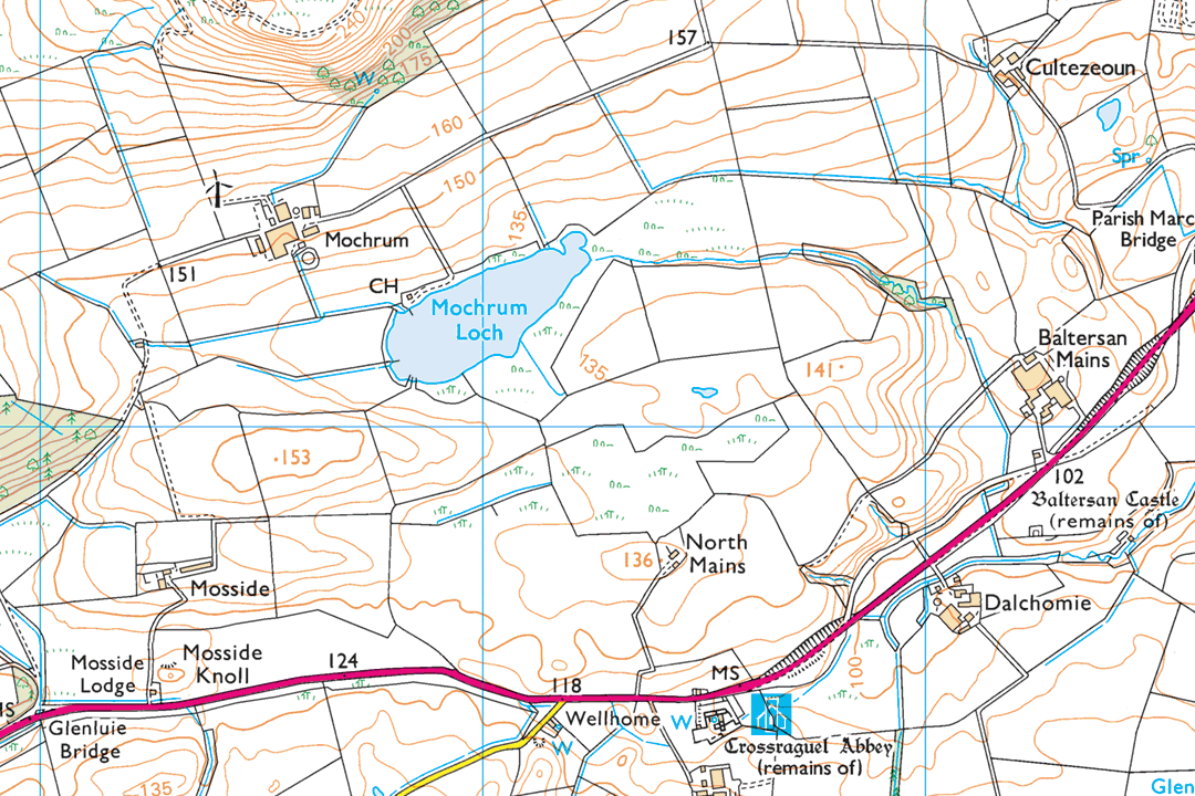
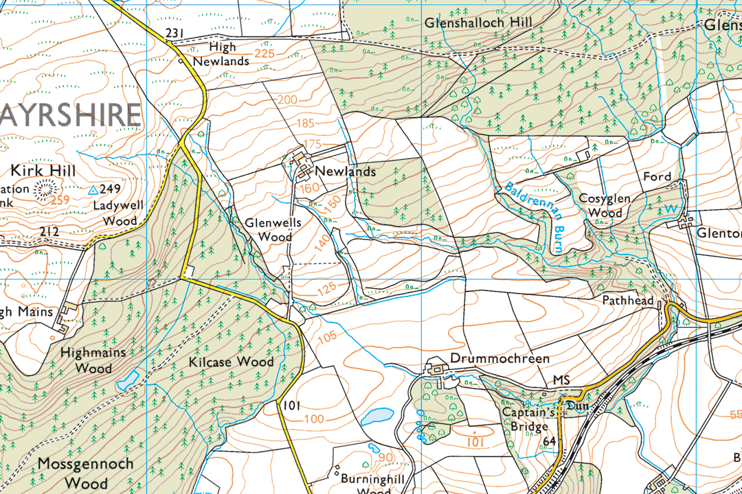
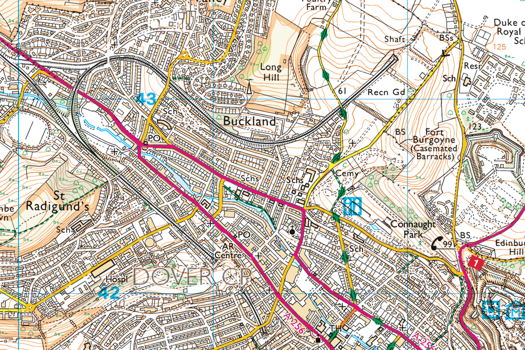
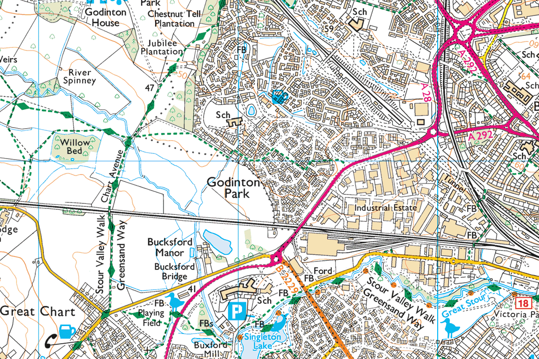
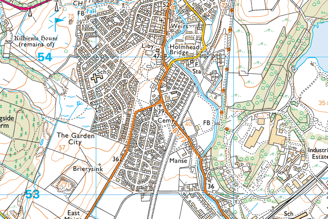
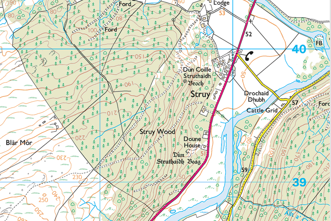
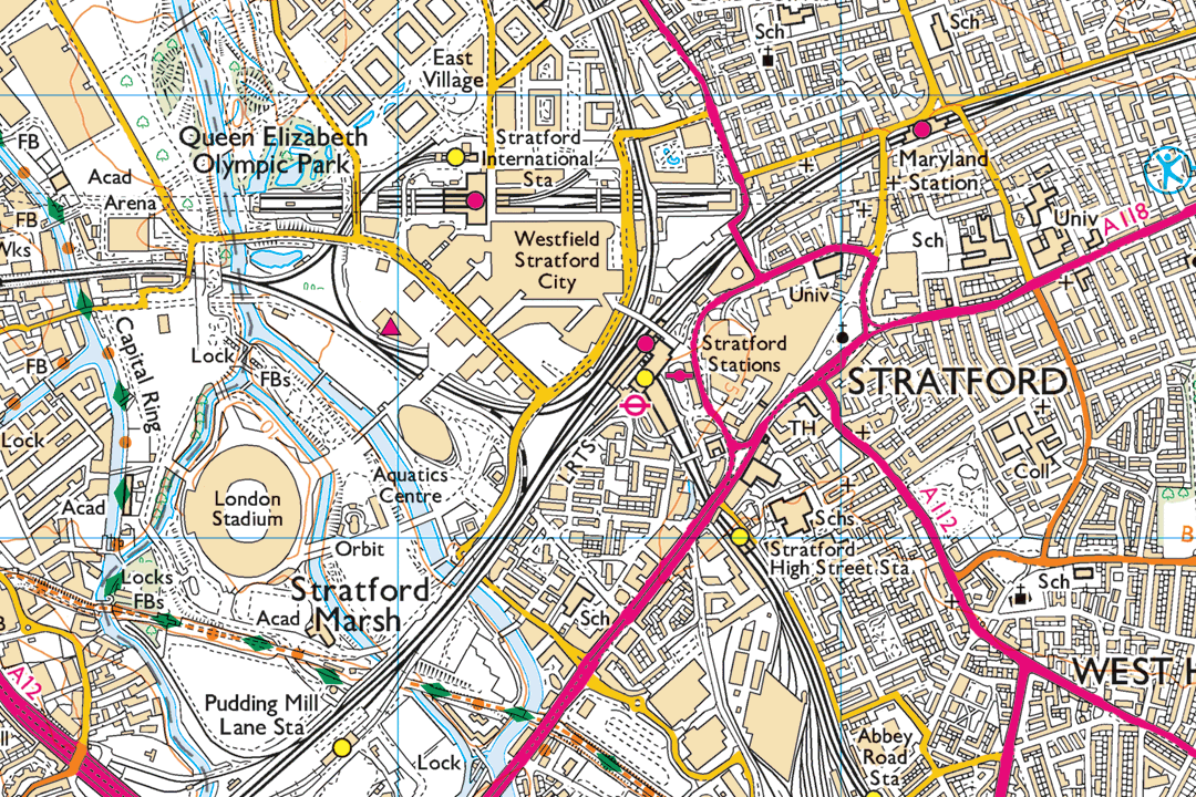
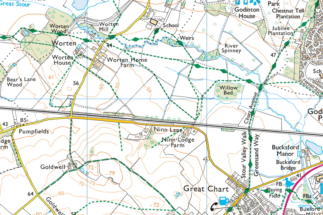
Highland moorland with contour lines and loch detail - Explorer countryside mapping at its richest Rolling Ayrshire farmland with woodland shading, hill names and scattered farmsteads clearly marked Urban and coastal detail around Dover - dual carriageways, residential streets and port infrastructure Parkland, woodland and motorway context near Ashford - ideal for environmental and planning projects Scottish town with golf course, river crossing and contour lines - full Explorer specification in one GeoTIFF Highland glen with forestry shading and river detail - perfect for woodland and estate management Olympic Park and Stratford - major road junctions and urban infrastructure at 1:25 000 scale Rural Kent field boundaries, footpaths and farm buildings - pay only for the area your project needs
© Crown copyright and database rights 2026 OS AC0000848283
OS 25k Raster Data Sections
- Custom rectangle - your area of interest
- GeoTIFF with TFW world file
- Full colour (Explorer palette)
- Footpaths & rights of way
- Contours & vegetation
- No bounding information
- One file per section
- Updated quarterly
OS 1:25 000 Raster Data Sections - Explorer-Level GeoTIFF Mapping Sized to Your Site
An OS 1:25 000 raster data section is a single georeferenced GeoTIFF file cut to a custom rectangle that you frame around your project area. Unlike the fixed 10 km x 10 km raster tiles which follow the OS National Grid, a section is sized to fit your site and delivered as one file with no tile boundaries to manage. It is often the most cost-effective way to get OS Explorer-level mapping into a GIS or CAD project when you are working on a single area of interest.
The mapping is sourced from the OS 1:25 000 Scale Colour Raster dataset - the digital equivalent of the printed OS Explorer map series. That means your GeoTIFF includes the full Explorer specification: footpaths, bridleways, National Trails, access land, contour lines at 5 m intervals, field boundaries, vegetation types, scree, shoreline detail and tourist symbols. Each section ships with a TFW world file for georeferencing. The data is updated quarterly in March, June, September and December.
Frame your project area on the interactive map, pay online and the GeoTIFF section is emailed to you in around 30 minutes, seven days a week.
What Is a 1:25 000 Raster Data Section?
It is a single GeoTIFF raster image covering the rectangular extent you choose - no grid lines, no title block, no fixed tile boundaries. The file is georeferenced to British National Grid (EPSG:27700) and loads straight into your GIS or CAD project. Where the 10 km raster tiles are ideal for building data libraries and covering larger regions systematically, sections are designed for single-site project work where you want one clean file that covers exactly the ground you need - and nothing more.
Pay Only for What You Need
A section covers just the area you frame on the map. If your project site sits in the corner of a 10 km tile, you would be paying for 100 km² when you only need a fraction of that coverage. A section lets you buy precisely the extent your project requires - often at a lower cost than a full tile.
One File, No Tile Boundaries
Your section arrives as a single GeoTIFF. There are no tile edges running through your study area, no multiple files to mosaic and no grid alignment constraints - just one image covering the rectangle you specified.
Full Explorer Countryside Detail
Every footpath, bridleway, right of way, access land boundary, contour line, vegetation type and field boundary that appears on a printed OS Explorer map is present in your section. The richest countryside mapping Ordnance Survey publishes, delivered as GIS-ready data.
Unlimited GIS Outputs Under Licence
Your OS licence permits unlimited PDF or image outputs from your GIS software at any scale. Print as many map sheets as your project requires from the section data - there is no per-print charge on top of the licence fee.
Not a GIS User?
If you do not use GIS or CAD software and just need a printed 1:25 000 Explorer map of a specific area, our ready-to-use extracts are the easier option. They arrive as a PDF, TIFF or JPG at the paper size you choose - no specialist software required:
1:25 000 Explorer Map Extract - the same mapping as the orange fold-out OS Explorer maps, site-centred and delivered digitally. Ideal for walking, hiking, outdoor instruction and environmental reports.
When Do I Need a 1:25 000 Raster Data Section?
Sections are for GIS and CAD professionals working on a defined project site who want Explorer-level mapping covering their area of interest in a single file. Common users and uses include:
Environmental Impact Assessment
Ecologists and environmental consultants load the section as a base for habitat mapping, ecological constraint analysis, land-use assessment and environmental statement appendices. The Explorer detail - vegetation types, contours, watercourses and field boundaries - provides the spatial context that simpler backdrops lack.
Rights of Way & Access Projects
Definitive map teams, access officers and countryside managers use sections for path diversion orders, creation agreements, access land boundary checks and rights of way improvement plans where a single project area needs to be shown with full PRoW detail.
Estate & Farm Management
Land agents, estate managers and rural surveyors load a section beneath ownership boundaries, tenancy parcels, sporting rights and conservation designations. A section sized to the holding avoids paying for surrounding tiles the project does not need.
Forestry & Woodland Analysis
Foresters and woodland managers use sections for compartment-level analysis, felling coupe design and planting assessments. Contour lines and vegetation mapping support species selection and access route planning on sloped and varied terrain.
Construction & Engineering Context
Engineers and project managers load a section as a wider geographic context layer behind site plans, infrastructure corridors and access route designs. The Explorer detail shows surrounding terrain, public access routes and landscape features relevant to the project.
Heritage & Archaeological Assessment
Heritage consultants use sections for desk-based assessments, historic landscape characterisation and settings analysis. Contour detail, earthwork indicators and vegetation patterns support interpretation of archaeological features within the study area.
National Park & Conservation Planning
Park authorities, AONB partnerships and conservation bodies use sections for landscape character assessment, visitor management plans, conservation area appraisals and habitat connectivity studies within defined project boundaries.
Renewable Energy & Utility Projects
Windfarm, solar and pipeline developers use sections for visual impact assessment, constraint mapping and public consultation material covering a specific scheme footprint. Rights of way and access land are visible alongside the project infrastructure.
Further Reading
New to working with GeoTIFF data in GIS? These guides cover the essentials:
- How to Open TIF and TFW Files in QGIS - Step by Step
- OS Raster Maps: What They Are and When to Use Them
- OS Vector and Raster Mapping Fully Explained
About UK Map Centre LLP

