FREQUENTLY ASKED QUESTIONS
What is OS 1:50 000 (Landranger) GeoTIFF data?
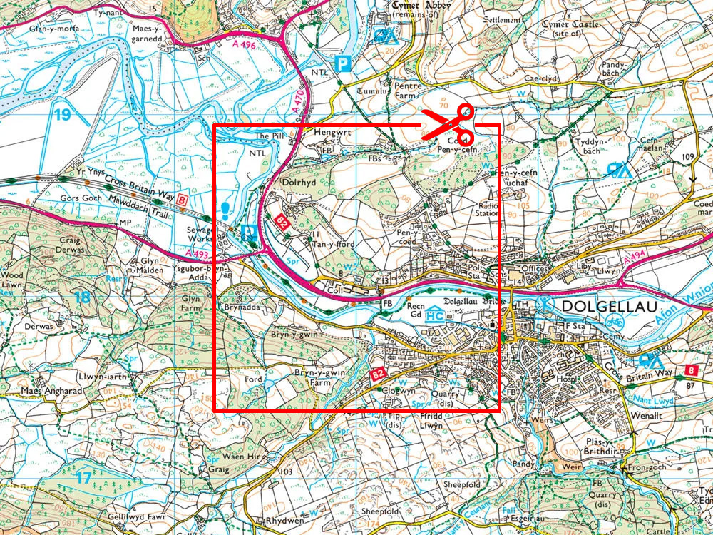
OS 1:50 000 GeoTIFF is a full-colour, ortho-rectified raster map—comparable to the paper Landranger series—delivered as seamless GeoTIFF tiles (20 km × 20 km) complete with embedded UK National Grid geolocation and world files.
Why should I use GeoTIFF format?
GeoTIFF embeds geographic coordinate metadata directly in the file, enabling easy import into GIS and CAD tools like QGIS, ArcGIS, AutoCAD Map 3D, and Civil 3D without needing external referencing.
What scale and resolution are provided?
Optimised for 1:50 000 (Landranger scale), the raster tiles have approximately 2.5 m per pixel resolution which is perfect for environmental mapping, landscape planning, and regional projects.
Which areas are covered with this data set?
Full Great Britain coverage (excluding Northern Ireland).
What file formats are included?
Supplied in GeoTIFF format, with options for GeoTIFF (LZW or palette bit), standard TIFF, or BMP as needed. An accompanying world file (.tfw) is also provided
What are typical uses of 1:50 000 GeoTIFF tiles?
Common use cases include:
Environmental assessment and flood risk mapping
Regional planning and land use analysis
Leisure or outdoor mapping (e.g. tourism apps)
Engineering and construction background mapping.
How quickly will I receive the data?
Delivery is digital via email or download link, typically within 20–30 minutes during operating hours (7 am–11 pm), though larger area requests may take slightly longer. If your order has not arrived by email please check your junk or spam folder before contacting us.
What is the starting price?
50k GeoTIFF start from approximately £9.03 + VAT per 10km x 10km section and will vary depending on chosen ground coverage and licence term.
Do I need an OS licence?
No - you don’t need to source your own. UK Map Centre provides a full OS licence under their framework agreement. Licence information is included on the delivery email, and you’re allowed unlimited print or export outputs within the licence term.
Can I overlay contours or vector data?
Yes - GeoTIFF tiles can be used as GIS backdrops with optional contour overlays (e.g. 5 m intervals). For editable features, you can combine with vector products like OS VectorMap Local or OS Mastermap for GIS Users .
Get GIS ready Maps, Fast. Order your 50K Landranger GeoTIFF basemapping from UK Map Centre.