OS Planning Maps — Frequently Asked Questions
General Questions
What are OS Planning Maps?
Professional, detailed Ordnance Survey maps formatted and licensed for planning applications. They
include the north arrow, scale bar and site boundary elements local authorities require.
Do OS Planning Maps meet planning requirements?
Yes — they meet national planning guidelines and are accepted by councils across the UK when supplied with the required
licence statement, north arrow and scale bar.
How long has UK Map Centre been supplying planning maps?
We’re an Ordnance Survey Premium Partner with 20+ years of experience supplying
planning maps nationwide.
How quickly can I get my planning map?
Fast digital delivery — typically within ~20–30 minutes, 7 days a week.
What’s included with each planning map?
North arrow, scale bar, OS licence text and your site boundary, laid out for easy council submission.
Choosing the Right Scale
What’s the most popular option for planning applications?
The 1:500 & 1:1250 Planning Pack — it includes a
Block/Site Plan (1:500) and a Location Plan (1:1250), covering most council requirements.
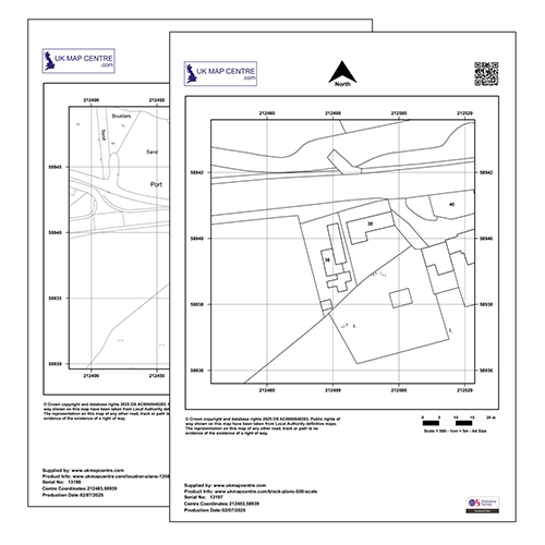
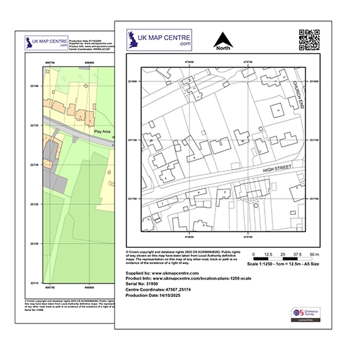
What’s the difference between a Block Plan and a Location Plan?
A Location Plan (1:1250) shows your site in its wider context (nearby properties/streets).
A Block/Site Plan (1:500) shows the site boundary and immediate surroundings in greater detail.
Which scale is typical for a residential application?
Most household applications use a 1:1250 Location Plan plus a
1:500 Block/Site Plan. The Planning Pack provides both.
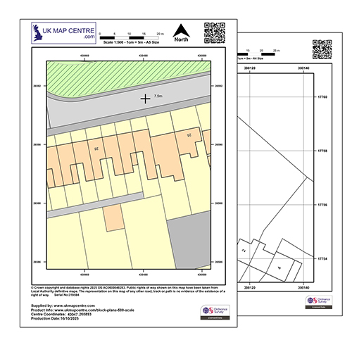
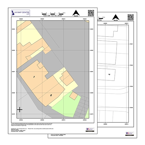
What is 1:500 used for?
Detailed site view — ideal for block/site plans showing boundaries, access and immediate context.
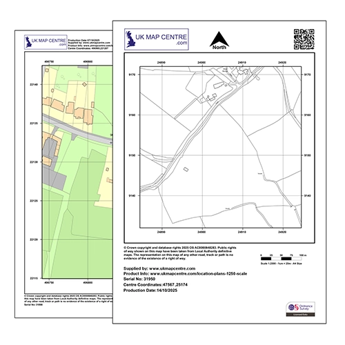
What is 1:1250 used for?
The standard Location Plan scale — shows your site with surrounding streets and features.
When would I use 1:100?
For highly detailed views such as dropped kerb applications, vehicle crossovers or small site details.
When would I use 1:200?
For small site layouts and detailed boundaries — more detailed than 1:500, covering a smaller area than 1:100.
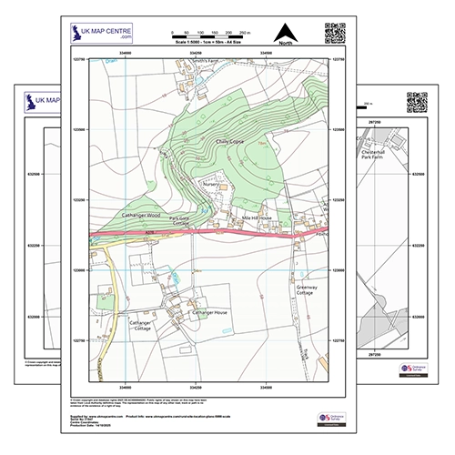
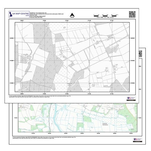
What about 1:2500, 1:5000 and 1:10000?
These larger-area scales are used for rural sites, large plots, estates and landscape assessments where broader context is needed.
Planning Application Requirements
Will my local council accept these maps?
Yes — they are accepted across the UK when supplied with required OS licensing, north arrow and scale bar.
Do I need both a Block Plan and a Location Plan?
Most applications require both. Check your LPA’s guidance, but the Planning Pack covers standard needs.
Are these maps fully licensed for planning use?
Yes — all maps include full Ordnance Survey licensing appropriate for planning submissions.
Are they suitable for commercial developments too?
Yes — use them for residential and commercial proposals, including extensions, new builds, change of use and dropped kerbs.
Do the maps show property boundaries?
Yes — OS mapping shows boundaries, building outlines, roads and surrounding features essential for planning.
Technical Questions
In what format are the maps delivered?
High-quality PDF and/or JPG files suitable for printing and digital submission. TIFF can be supplied if needed.
Can I add my own annotations?
Yes — you can mark site boundaries and add annotations to the PDF.
If you need fully editable data, consider OS MasterMap in DWG/DXF.
What’s the difference between planning maps and CAD data?
Planning maps are image-based files (PDF/JPG) ideal for submission.
CAD data (DWG/DXF) is editable vector mapping for technical design workflows.
Can I print these maps to any size?
They are prepared to print at the stated scale (e.g., 1:1250). If you change paper size or print settings, ensure print scaling maintains the correct map scale.
Usage & Applications
What types of applications are these suitable for?
House extensions, new builds, loft conversions, conservatories, dropped kerbs, change of use, agricultural buildings, commercial schemes and more.
Who uses OS Planning Maps?
Architects, planning consultants, developers, homeowners, builders, surveyors and planning agents across the UK.
Can I use the maps for pre-application advice?
Yes — they’re suitable for both pre-app consultations and formal planning submissions.
Do I need different maps for different application types?
It depends on your LPA’s policy. Many projects need both 1:1250 and 1:500; others may require additional scales.
The Planning Pack is a safe all-round option.
Can I reuse the maps for multiple applications?
Planning maps are licensed for the specific site/application purchased. For multiple sites or wider reuse, consider OS Digital Data (CAD) or GIS datasets with appropriate licensing.
Can I geo-reference the planning extracts for GIS use?
Planning extracts are supplied/licensed for print and portal upload.
For GIS analysis or georeferenced layers, order OS Digital (GIS) products instead.