OS Professional Data — Frequently Asked Questions
General Questions
What is OS Professional Data?
OS Professional Data consists of survey-grade Ordnance Survey MasterMap® products delivered in editable CAD and GIS formats
(DWG, DXF, SHP, GeoPackage). It’s designed for architects, engineers, planners and GIS professionals who require accurate, layered base mapping.
What formats are OS Professional Data products available in?
Professional datasets are available in DWG, DXF, SHP (Shapefile) and GeoPackage formats —
all projection-ready and compatible with most CAD and GIS software.
What does “site-centred” mean?
“Site-centred” means the map extract is tailored to your specific area of interest,
ensuring your project location sits at the centre of the dataset rather than on an edge.
How quickly can I receive my data?
Data is delivered digitally by email, typically within 20–30 minutes of purchase, 7 days a week.
How long has UK Map Centre been an OS Partner?
UK Map Centre has been a trusted Ordnance Survey Premium Partner for over 20 years,
supplying licensed professional mapping data across Great Britain.
Choosing the Right Product
What’s the difference between CAD OS MasterMap and VectorMap Local?
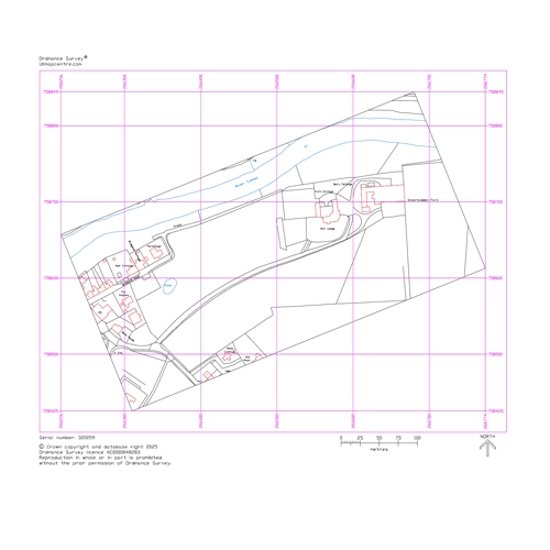
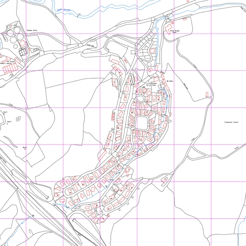
CAD OS MasterMap is the most detailed editable vector data from OS,
showing individual buildings, boundaries, and physical features — ideal for detailed design and engineering.
VectorMap Local (1:10,000) is a simplified, generalised backdrop suited for context and asset mapping.
Which product should I use for architectural or engineering design?
CAD OS MasterMap (DWG/DXF) is the best choice for design workflows — fully layered, editable vector data that integrates
seamlessly with BIM, planning and CAD drawing systems.
What are OS MasterMap Tiles used for?
OS MasterMap Tiles are true-orthorectified raster tiles (1 km × 1 km),
ideal for large-area backdrops, planning zones, and GIS overlays.
What is OS Height Data (DTM) and when do I need it?
OS Height Data (DTM) is a Digital Terrain Model providing elevation information.
It’s used for contouring, flood modelling, visibility analysis, drainage and 3D terrain modelling in CAD and GIS.
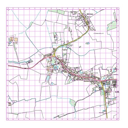
Which product is best for context maps?
VectorMap Local (1:10,000) — a clean, generalised base ideal for context mapping, asset registers and background plans.
Software Compatibility
What CAD software is compatible with these products?
OS Professional Data works with AutoCAD, MicroStation, Vectorworks and most CAD systems supporting DWG or DXF file formats.
Can I use this data in GIS software?
Yes — the data is fully compatible with GIS platforms such as QGIS, ArcGIS, and MapInfo, supplied in SHP and GeoPackage formats.
Is the data compatible with BIM workflows?
Yes — CAD OS MasterMap integrates with BIM (Building Information Modelling) systems to provide accurate, georeferenced base mapping
for architectural and engineering projects.
Usage & Applications
What can I use OS Professional Data for?
Common uses include planning applications, architectural design, engineering layouts, drainage and utility design,
site surveys, asset management, flood analysis, and infrastructure planning.
Can I overlay this data with my own designs?
Yes — fully editable vector layers integrate directly with your planning drawings, drainage layouts and utility plans.
Is the data accurate enough for planning applications?
Yes — OS MasterMap is survey-grade and meets all local authority accuracy requirements for professional submissions.
Can I use this data for large-area projects?
Yes — OS MasterMap Tiles (1 km × 1 km) are ideal for large-scale or regional analysis and planning projects.
Technical Questions
What does “fully editable vector layers” mean?
The data is delivered in structured layers that you can turn on/off, restyle, or edit in your CAD or GIS software,
giving you complete control over individual map features.
What does “projection-ready” mean?
“Projection-ready” means the dataset includes the correct coordinate system information, ready to integrate into your
project’s geospatial reference system — typically OSGB36 / British National Grid.
How is this different from leisure maps?
Professional OS data is vector-based, editable mapping for technical CAD/GIS work.
Leisure maps are static raster images (PDF, JPG) intended for navigation or outdoor use.
What’s the difference between vector and raster data?
Vector data (like OS MasterMap CAD) uses editable lines, points and polygons that can be modified or styled.
Raster data (like MasterMap Tiles) consists of georeferenced image backdrops suitable for viewing but not direct editing.