


Status: System Live - Fast Turnaround
🧭 OS GIS Data — Tiles & Bespoke Area Extracts
Choose standardised Tiles for full coverage, or Smaller Bespoke Extracts for the exact area you need.
- 📍 Download full-coverage tiles or select smaller, custom-shaped extracts
- 🧩 CAD/GIS-ready formats — DWG, DXF, SHP, GeoTIFF, GeoPackage
- ⚙️ Clean, layered and projection-ready mapping for professional workflows
- 🚀 Fast turnaround — delivered by email, 7 days a week
- 🏢 Trusted Ordnance Survey Partner for over 20 years
| Image | Product | Scale / Format | Description | Buy Tiles | Buy Bespoke Area |
|---|---|---|---|---|---|
|
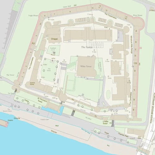
OS MasterMap Topography | Vector — DWG / DXF / SHP | Detailed, layered mapping ideal for CAD and GIS projects. | Buy Tiles | Buy Smaller Area |
|
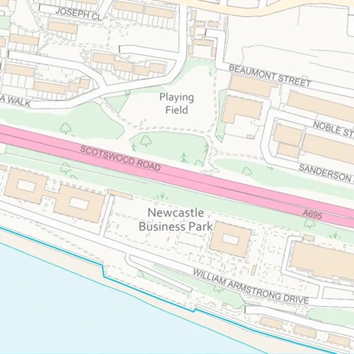
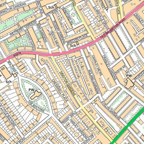
OS VectorMap Local | Vector — 1:10,000 | Clean, generalised mapping for design, planning and background use. | Buy Tiles | Buy Smaller Area |
|
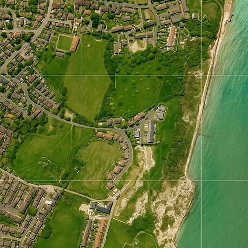
OS MasterMap Imagery Layer | Raster — 1 km × 1 km / Bespoke | True-orthorectified aerial photography aligned to OS MasterMap. | Buy Tiles | Buy Smaller Area |
|
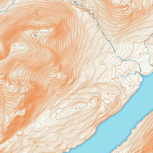
OS Terrain Data (DTM) | Raster/Grid — 5m DTM / DSM | Height data for contouring, flood modelling or landscape analysis. | Buy Tiles | Buy Smaller Area |
|
OS Raster GeoTIFF — 1:10,000 | Raster — 10k | High-detail raster mapping ideal for large-scale design or context maps. | Buy Tiles | Buy Smaller Area |
|
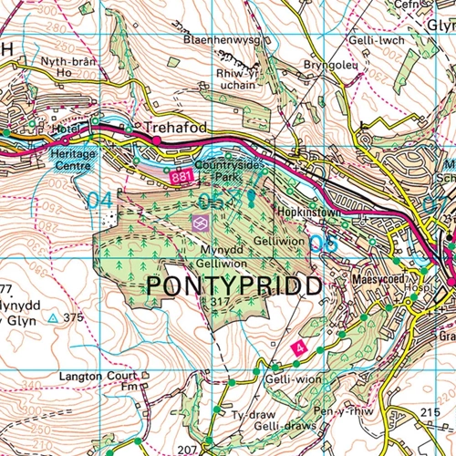
OS Raster GeoTIFF — 1:25,000 | Raster — 25k | Explorer-style raster mapping for leisure, site and planning use. | Buy Tiles | Buy Smaller Area |
|
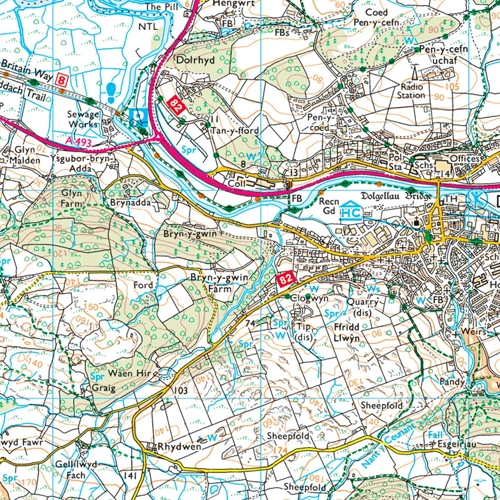
OS Raster GeoTIFF — 1:50,000 | Raster — 50k | Landranger-style raster mapping ideal for regional context and overviews. | Buy Tiles | Buy Smaller Area |
Why Buy from Us?
Account Verification
No Account Required. All major Credit Cards accepted.
Many Scales and Styles
1:100 Kerb Plans to 50K Raster Style. Block Plans, Location Plans, Planning Packs.
Digital Formats
PDF, JPG, TIFF, GeoTIFF, CAD in minutes.
Vector CAD Data
For expert users with CAD tools. DXF/DWG formats.
Keep Legal
Council, Land Registry and Utility Compliant.
Map, Size and Shape Options
Find your location, select your size and shape as needed. Easy and clear options.
Ordnance Survey Maps Compliance
