


Status: System running normally
🗺️ Ordnance Survey Leisure Products
Explore Great Britain with confidence using Ordnance Survey’s trusted leisure maps — designed for walkers, cyclists and outdoor adventurers across the UK.
- 🌄 Over 20 years supplying trusted Ordnance Survey leisure mapping
- 🚶♂️ Highly detailed maps showing every path, track and contour
- 📱 Available in digital formats — PDF, JPG, TIFF, PNG
- 📍 Ideal for walking, cycling, touring and route planning
- 🗺️ Choose OS Explorer (1:25,000) or Landranger (1:50,000) series
- 📤 Site-centred on your area of interest
- 🏞️ Covering every corner of Great Britain — from coastal paths to national parks
- 🧭 OS — the UK’s most trusted mapping authority for over 200 years
Working in CAD?
For technical or editable mapping data, explore our
OS MasterMap range — perfect for CAD and GIS users.
| Leisure Map Overview | Map Scale | Description | Purchase |
|---|---|---|---|
|
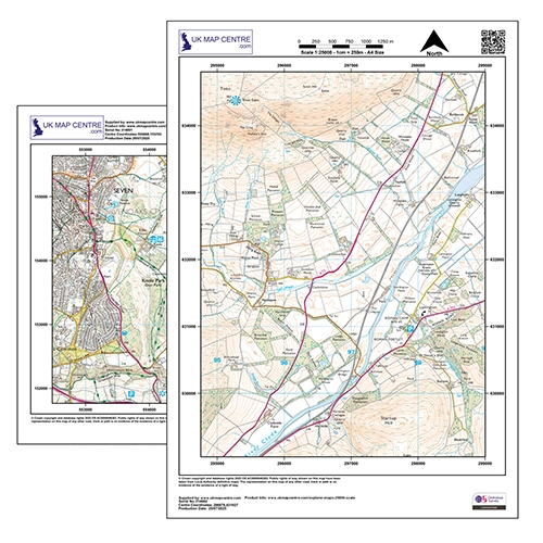
1:25,000 Explorer Most Detailed Leisure Map | The definitive walking map — perfect for hiking, rambling and off-road cycling with field boundaries and rights of way. | Buy Now |
|
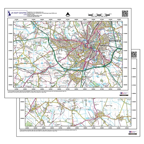
1:50,000 Landranger | Ideal for cycling and touring — clear road and landmark detail covering wider areas of Great Britain. | Buy Now |
|
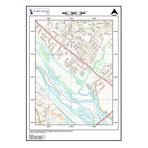
1:10,000 Street View | A simplified street-level map of Great Britain at 1:10,000 scale from Ordnance Survey Open Data. | Buy Now |
|
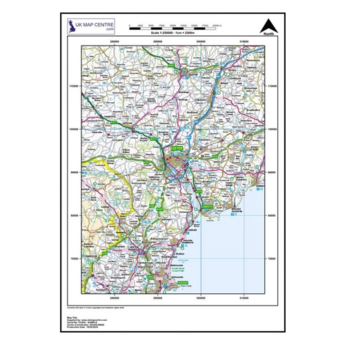
1:250,000 Road Map | OS OpenData road atlas coverage — suitable for commercial, educational and personal use without complex licensing. | Buy Now |
Why Buy from Us?
Account Verification
No Account Required. All major Credit Cards accepted.
Many Scales and Styles
1:100 Kerb Plans to 50K Raster Style. Block Plans, Location Plans, Planning Packs.
Digital Formats
PDF, JPG, TIFF, GeoTIFF, CAD in minutes.
Vector CAD Data
For expert users with CAD tools. DXF/DWG formats.
Keep Legal
Council, Land Registry and Utility Compliant.
Map, Size and Shape Options
Find your location, select your size and shape as needed. Easy and clear options.
Ordnance Survey Maps Compliance
