


Status: System Live - Fast Turnaround
Popular Ordnance Survey Planning, CAD & GIS Mapping
Professional OS planning maps, CAD-ready MasterMap and GIS datasets for architects, planners and developers across the UK.
- Buy from a premium trusted Ordnance Survey Partner of over 20 years
- Meets all local-authority planning requirements
- Fast turnaround: no waiting or approval delays
- Trusted by architects, planners, and developers nationwide
Working in CAD?
For editable vector mapping compatible with AutoCAD, MicroStation or GIS, our
OS MasterMap CAD range
is delivered fast, fully layered and fully licensed.
Planning Maps
| Map Overview | Scale / Format | Description | Purchase |
|---|---|---|---|
|
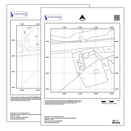
1:500 & 1:1250 PDF, JPG, PNG, BMP, Word Most Popular |
Dual Pack providing both Block and Location Plans, the complete planning solution. | Buy Now |
|
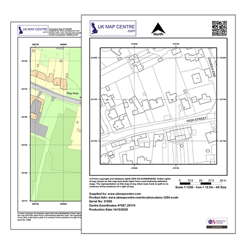
1:1250 PDF, JPG, PNG, BMP, Word |
Standard location plan scale showing your site in its surrounding context. | Buy Now |
|
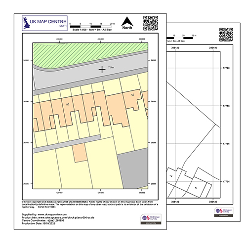
1:500 PDF, JPG, PNG, BMP, Word |
Detailed site view, ideal for block or site plans in planning applications. | Buy Now |
CAD Data
Important: CAD data is intended for professionals familiar with CAD or GIS software.
If you’re not confident using these tools, please purchase one of the Planning Maps above instead.
| Dataset Overview | Scale / Format | Description | Purchase |
|---|---|---|---|
|
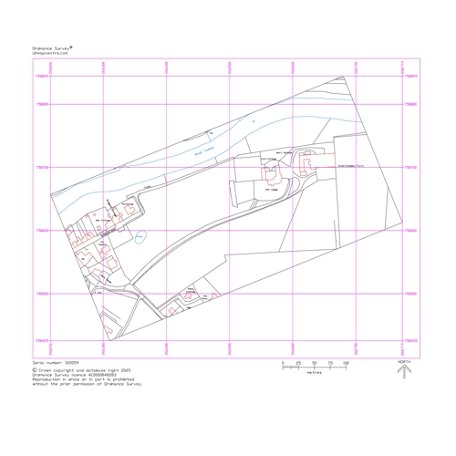
Vector: DWG / DXF Editable CAD layersMost Popular |
Detailed, layered Ordnance Survey MasterMap Topography: fully editable CAD format for planning and design workflows. | Buy Now |
GIS Data
What is GIS? Geographic Information Systems (GIS) data is georeferenced mapping designed for spatial analysis
and professional map production in QGIS, ArcGIS and similar tools. Supplied in GIS-friendly formats
such as SHP, GeoPackage or GeoTIFF, it can be ordered as full tiles or smaller bespoke site extracts.
If unsure, use the Planning Maps above instead.
| Dataset Overview | Scale / Format | Description | Purchase |
|---|---|---|---|

|
Vector: SHP / GeoPackage GIS-ready formats |
High-detail, layered OS MasterMap Topography for GIS analysis and mapping. Available as full coverage tiles or smaller custom site extracts. |
Why Buy from Us?
Account Verification
No Account Required. All major Credit Cards accepted.
Many Scales and Styles
1:100 Kerb Plans to 50K Raster Style. Block Plans, Location Plans, Planning Packs.
Digital Formats
PDF, JPG, TIFF, GeoTIFF, CAD in minutes.
Vector CAD Data
For expert users with CAD tools. DXF/DWG formats.
Keep Legal
Council, Land Registry and Utility Compliant.
Map, Size and Shape Options
Find your location, select your size and shape as needed. Easy and clear options.
Ordnance Survey Maps Compliance
